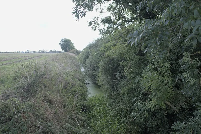
Car Dyke

Car Dyke
Bob Harvey · CC BY-SA 2.0

Car Dyke is a Roman-era earthwork extending approximately 92 km (57 mi) along the western edge of the Fens in eastern England [1][2]. This substantial ditch was long believed to mark the fenland's western boundary [1].

TypeEarthwork
Period1 - 500 AD
CountryEngland
Coordinates53.0127° N, 0.2678° W

Related resources

More sites in England

Horncastle · Ancaster, Lincolnshire · Washingborough · Witham Shield · Keal Cotes · Fiskerton Log Boat · Lindum Colonia · Foss Dyke · Newport Arch · Great Casterton · Ponton Heath Barrow Cemetery · Flag Fen · Thistleton · Must Farm Bronze Age Settlement · King Lud's Entrenchments and The Drift · Rutland Roman Villa · Apethorpe Roman Villa · Welbeck Hill · Fen Causeway · Stonea Camp · Burrough Hill · Horkstow Roman Villa · Appleby Logboat · Margidunum

All sites in England

Was this page useful?

Keep exploring

Every site on this page sits on the globe, and the people who research them are on the Discord.

3D Globe · Sites by country · Story Archive · Research Library · Weekly Journal · Search