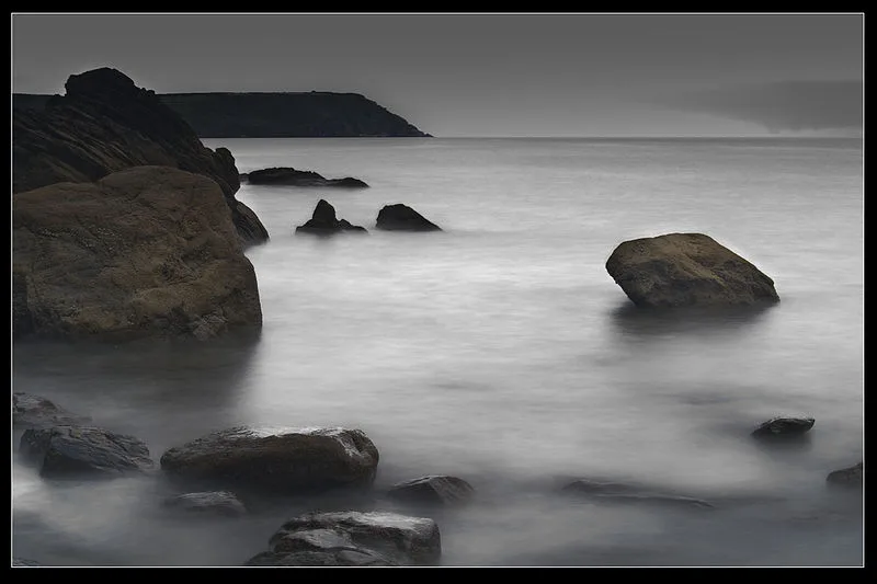
Dodman Point

Dodman Point
Johan J.Ingles-Le Nobel from Holmbury St.Mary, UK · CC BY 2.0

Dodman Point is a headland on the south Cornwall coast, rising 114 metres (374 ft) above sea level[1]. The site contains the remains of an Iron Age promontory fort[1]. At its seaward end stands Parson Martin's Cross, a granite cross erected in 1896 which aids navigation and to encourage Christian service[1]. The headland was historically known as Deadman or Deadman's Point, and appears in the traditional sea shanty Spanish Ladies[1].

TypeFortress/citadel
Period1500 - 500 BC
CountryEngland
Coordinates50.2195° N, 4.8019° W

Related resources

More sites in England

Black Head, Cornwall · Prideaux Castle · St Dennis, Cornwall · Castle Dore · Castle an Dinas, St Columb Major · St Breock Downs Monolith · Nine Maidens Stone Row · Pawton Quoit · Kelly Rounds · Largin Castle · Trevelgue Head · Trippet Stones · Duloe Stone Circle · Three Brothers of Grugith · Stripple Stones · King Arthur's Hall · Leaze Stone Circle · Emblance Downs Stone Circles · The Rumps · Kelsey Head · Stannon Stone Circle · Castle Goff · Goonhilly Downs - Dry Tree Menhir · Fernacre

All sites in England

Was this page useful?

Keep exploring

Every site on this page sits on the globe, and the people who research them are on the Discord.

3D Globe · Sites by country · Story Archive · Research Library · Weekly Journal · Search