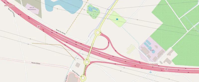
Martigny

Martigny
OpenStreetMap contributors · ODbL

Martigny, at 471m elevation in the Swiss Alps, was a major Celtic settlement and later Roman city of the Veragri tribe. Known as Octodurus in the 1st century BC, it served as a key crossroads where the Great St. Bernard Pass road to Italy and the col de la Forclaz route to France converged. Today it remains a strategic Alpine junction and gateway to ski resorts including Verbier[1][2]

TypeCity/town/settlement
Period500 BC - 1 AD
CountrySwitzerland
Coordinates46.1002° N, 7.0667° E

Related resources

More sites in Switzerland

Lousonna · Mormont · Aventicum · Gallo-Roman Villa of Orbe-Boscéaz · Noviodunum, Switzerland · La Tène - Archaeological Site · Neuchâtel · Petinesca · Basel-Münsterhügel · Augusta Raurica · Vindonissa · Oppidum Uetliberg · Horgen · Sechseläutenplatz, Zürich · Turicum · Oppidum Zürich-Lindenhof · Holzbrücke Rapperswil-Hurden · Kempraten · Centum Prata · Busskirch · Irgenhausen Castrum · Vitudurum · Wildkirchli

All sites in Switzerland

Was this page useful?

Keep exploring

Every site on this page sits on the globe, and the people who research them are on the Discord.

3D Globe · Sites by country · Story Archive · Research Library · Weekly Journal · Search