
 Wales
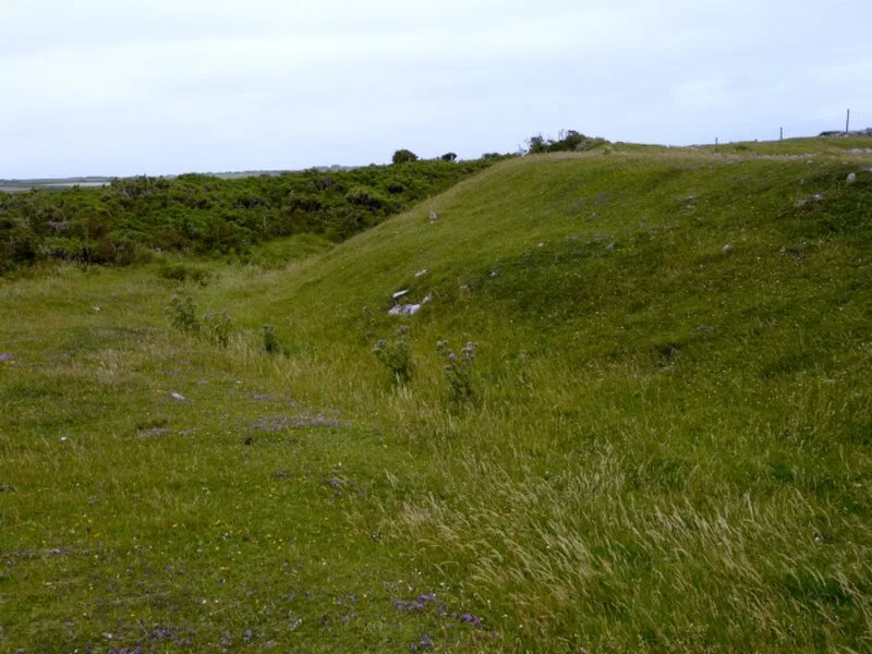
WalesAn Iron Age promontory hillfort perched on 60-metre cliffs on the Gower coast near Rhossili, Swansea, Wales. The bivallate (two-rampart) defended enclosure measures approximately 52 m by 44 m internally, with an inner rampart that was internally revetted and fronted by a ditch. Ceramic evidence dates occupation to circa 50 BC - 50 AD, with pottery of Glastonbury type found on site. Excavations in 1938 uncovered a circular structure approximately 3.7 m in diameter along with slingstones, hammer-stones, clay daub, and part of a stone mace. The site is crossed by the Wales Coast Path.
The Knave
| Type | Fortress/citadel |
|---|---|
| Period | 1500 - 500 BC |
| Country | Wales |
| Coordinates | 51.5546° N, 4.2635° W |