
 England
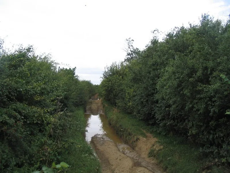
King Lud's Entrenchments is a Scheduled Ancient Monument and 23.9-hectare Site of Special Scientific Interest straddling the Lincolnshire-Leicestershire border, east of Croxton Kerrial. The earthworks consist of three parallel banks separated by two ditches extending for 1,387 m, with ditches up to 1.5 m deep and 8 m wide. Excavation revealed V-shaped and U-shaped ditch profiles. Once thought to be Anglo-Saxon, the earthworks are now believed to be prehistoric, possibly part of a large boundary system extending from Northamptonshire to the Humber. The traditional name "Foulding Dykes" suggests possible use for livestock management.
King Lud's Entrenchments and The Drift
| Type | Earthwork |
|---|---|
| Period | 4500 - 3000 BC |
| Country | England |
| Coordinates | 52.8421° N, 0.7211° W |