
 Wales
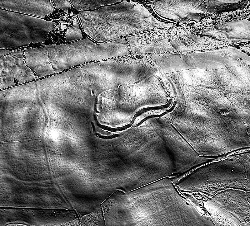
WalesGaer Fawr is an Iron Age bivallate hillfort near Llanilar, Ceredigion, Wales, dating to c. 800 BC - AD 74. Situated at 280 m above sea level on a rounded hilltop, its defenses feature an inner bank approximately 2.5 m high above a rock-cut ditch with traces of an outer bank on the north and east, while the south and west rely on steeply scarped natural slopes. The fort has a simple inturned entrance at its east end and is registered with Cadw (CD050) as a monument of national importance for its potential to illuminate later prehistoric defensive organization.
Gaer Fawr, Llanilar
| Type | Fortress/citadel |
|---|---|
| Period | 1500 - 500 BC |
| Country | Wales |
| Coordinates | 52.3301° N, 3.9800° W |