
 USA
USAThe Dighton Rock is a 40-ton boulder composed of sandstone, originally located in the riverbed of the Taunton River at Berkley, Massachusetts, formerly part of the town of Dighton [1]. The rock is noted for its petroglyphs, "primarily lines, geometric shapes, and schematic drawings of people, along with writing, both verified and not" [1]. The carved designs are of ancient and uncertain origin, and there is controversy as to who created them [1]. State officials removed the rock from the river for preservation in 1963, during construction of a coffer dam [1]. It was installed in a museum in the nearby Dighton Rock State Park [1]. In 1971, it was listed on the National Register of Historic Places [1]. The boulder has the form of a slanted, six-sided block, approximately 5 feet high, 9.5 feet wide, and 11 feet long [1]. The surface with the inscriptions has a trapezoidal face and is inclined 70 degrees to the northwest [1].
Text: Wikipedia – 'Dighton Rock' (revision of 2026-09-04), CC BY-SA 4.0 · sentences selected and shortened by an AI system · source →Dighton Rock
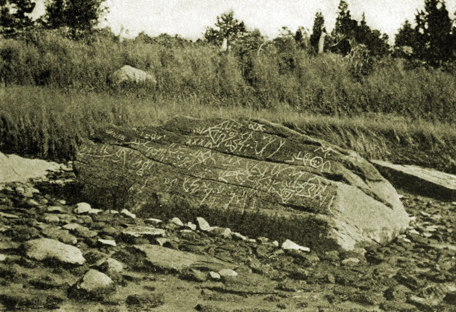
Also known as: Assonet Rock, Kamień z Dighton, Pedra de Dighton, Pedra Dighton, Roca de Dighton, Roccia di Dighton, Rocha de dighton, rocher de Dighton, Дайтон-рок, Дайтон Рок, ダイトン・ロック, 戴顿岩
| Type | Petroglyphs |
|---|---|
| Period | < 4500 BC |
| Country | USA |
| Coordinates | 41.8129° N, 71.1106° W |