
 USA
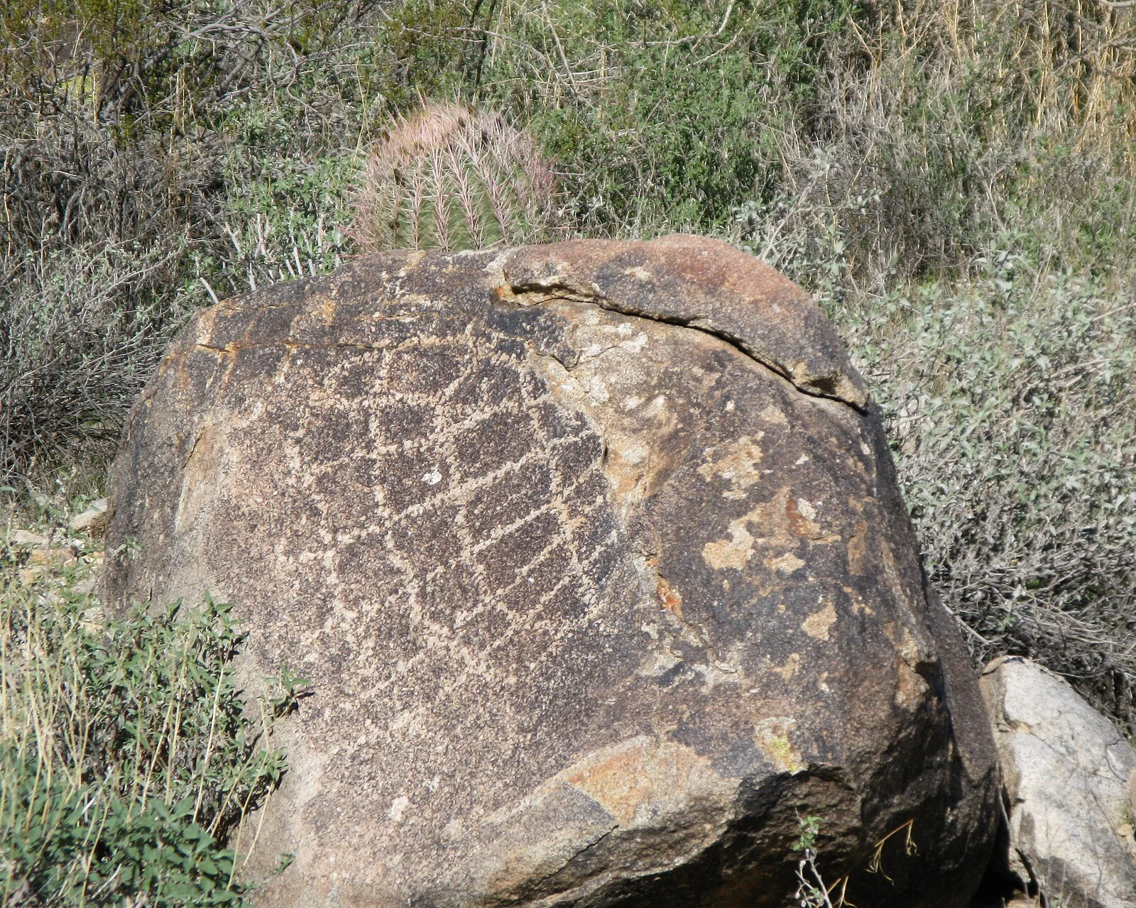
USAThe White Tank Mountain Regional Park is a large regional park located in west-central Maricopa County, Arizona [1]. The bulk of the White Tank Mountains range is located within the park's boundaries [1]. The mountains are also home to a number of archaeological sites, with 11 having been identified within the park boundaries, including seven Hohokam villages that were occupied between 500 and 1100 CE [1]. The Black Rock Trail provides access to the remnants of one of these villages, although the remnants are not well preserved and often overlooked by casual visitors [1]. More readily apparent are a number of petroglyphs scattered throughout the park [1]. Most are of Hohokam origin, but some may have been created nearly 10,000 years ago, by Meso-Indians [1].
Text: Wikipedia – 'White Tank Mountain Regional Park' (revision of 2026-07-05), CC BY-SA 4.0 · sentences selected and shortened by an AI system · source →White Tank Mountain Regional Park
Also known as: Parcul regional White Tank Mountain, Parcum Regionale Montis Lacus Albi, Whitetank Mountain Regional Park, White Tank山, ホワイト・タンク・マウンテン地方公園
| Type | Petroglyphs |
|---|---|
| Period | 500 - 1000 AD |
| Country | USA |
| Coordinates | 33.5866° N, 112.5128° W |