
 USA
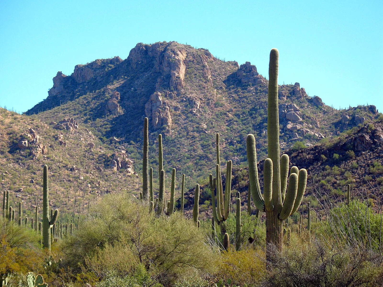
USASaguaro National Park is a national park of the United States in southeastern Arizona [1]. The 92,000-acre park consists of two separate areas—the Tucson Mountain District, about 10 miles west of Tucson, and the Rincon Mountain District, about 10 miles east of the city [1]. The earliest known residents of the land in and around what later became Saguaro National Park were the Hohokam, who lived there in villages between AD 200 and 1450 [1]. Petroglyphs and bits of broken pottery are among Hohokam artifacts found in the park [1]. Hohokam petroglyphs etched into large stones are easily accessible in the Tucson Mountain District [1]. The Signal Hill Trail leads to an area with dozens of examples of the 800-year-old rock art [1].
Text: Wikipedia – 'Saguaro National Park' (revision of 2026-07-30), CC BY-SA 4.0 · sentences selected and shortened by an AI system · source →Saguaro National Park
Also known as: 사와로 국립공원, Nacionalni park Saguaro, Národní park Saguaro, Parc Nacional del Saguaro, parc national de Saguaro, Parco nazionale dei Saguaro, Park Narodowy Saguaro, Parque Nacional de Saguaro, Parque Nacional Saguaro, SAGU, Saguaro Millî Parkı, Saguaro nacionalinis parkas
| Type | Natural feature |
|---|---|
| Period | 1500+ AD |
| Country | USA |
| Coordinates | 32.1794° N, 110.7369° W |