
 USA
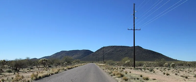
USABlack Mountain is a lava capped mesa in Pima County, Arizona, that rises 1,000 feet above its base to an altitude of 3,700 feet [1]. It is a northeast trending ridge, 5,600 feet in length, located along Mission Road nine miles southwest of Tucson [1]. It is on the San Xavier Indian Reservation, 3.18 miles southwest of the Mission San Xavier del Bac [1]. The Sierrita Mountains rise to the southwest and the Santa Cruz River is about four miles to the east [1]. On top of Black Mountain are the ruins of an ancient Hohokam fortification [1]. Long stone walls, circular stone rings, petroglyphs, man-made trails, and pottery sherds can still be seen today [1].
Text: Wikipedia – 'Black Mountain (Pima County, Arizona)' (revision of 2026-08-10), CC BY-SA 4.0 · sentences selected and shortened by an AI system · source →Black Mountain (Pima County, Arizona)
Also known as: Black Mountain, Black Mountain, Arizona, Black Mountain (bukid sa Tinipong Bansa, Arizona, Pima County, lat 32,08, long -111,06), Black Mountain, Pima County, Black Mountain (Pima County (Arizona)), Black Mountain, USA, بلیک ماؤنٹین, بلیک ماؤنٹین (پیما کاؤنٹی، ایریزونا), ブラックマウンテン (ピマ郡)
| Type | Fortification |
|---|---|
| Period | 1500 - 500 BC |
| Country | USA |
| Coordinates | 32.0880° N, 111.0539° W |