
 South Korea
Mongchontoseong is an ancient earthen rampart dating from the Baekje period [1]. The fortification walls are estimated to have been about 2.7 km in length and approximately 6 to 7 m high [1]. The fortifications of Mongch'ont'osŏng had a palisade atop the wall and a moat surrounding its base [1]. They are part of Wiryeseong with Pungnaptoseong [1]. A number of important excavations of the site were conducted prior to the construction of the nearby Olympic Park [1].
Text: Wikipedia – 'Mongchontoseong' (revision of 2026-06-12), CC BY-SA 4.0 · sentences selected and shortened by an AI system · source →Mongchontoseong Earthen Fortification
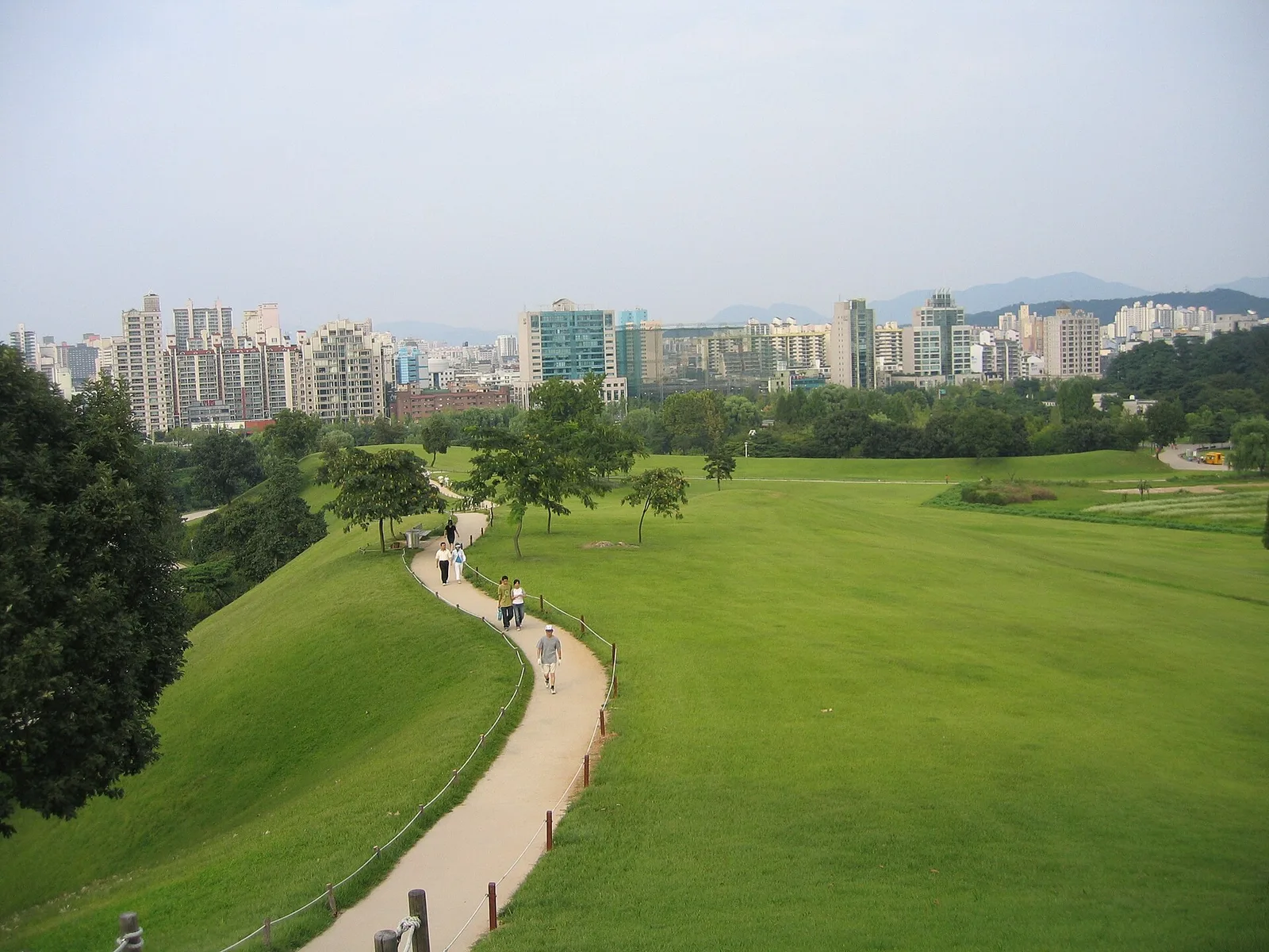
Also known as: 몽촌토성, Mongchontoseong, 夢村土城
| Type | Earthwork |
|---|---|
| Period | 1 - 500 AD |
| Country | South Korea |
| Coordinates | 37.5209° N, 127.1226° E |