
 Scotland
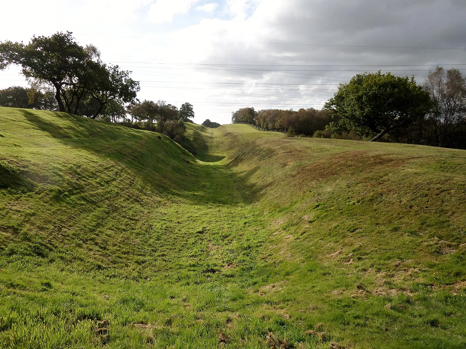
The Antonine Wall was a turf fortification on stone foundations, built by the Romans across what is now the Central Belt of Scotland, between the Firth of Clyde and the Firth of Forth [1]. Built some twenty years after Hadrian's Wall to the south, and intended to supersede it, while it was garrisoned it was the northernmost frontier barrier of the Roman Empire [1]. It spanned approximately 63 kilometres and was about 3 metres high and 5 metres wide [1]. Security was bolstered by a deep ditch on the northern side [1]. The barrier was the second of two "great walls" created by the Romans in Great Britain in the second century AD [1]. Construction began in AD 142 at the order of Roman Emperor Antoninus Pius [1]. The Antonine Wall was protected by 16 forts with small fortlets between them; troop movement was facilitated by a road linking all the sites known as the Military Way [1]. The soldiers who built the wall commemorated the construction and their struggles with the Caledonians with decorative slabs, twenty of which survive [1].
Text: Wikipedia – 'Antonine Wall' (revision of 2026-07-20), CC BY-SA 4.0 · sentences selected and shortened by an AI system · source →Antonine Wall
Also known as: 안토니누스 방벽, Antonija valnis, Antonijnse Muur, Antonin devori, Antonine Duvarı, Antoninoren Harresia, Antonino siena, Antoninov zid, Antoninuksen muuri, Antoninuksen valli, Antoninus Duvarı, Antoninuse vall
| Type | Wall |
|---|---|
| Period | 1 - 500 AD |
| Country | Scotland |
| Coordinates | 55.9671° N, 4.0669° W |