
 Portugal
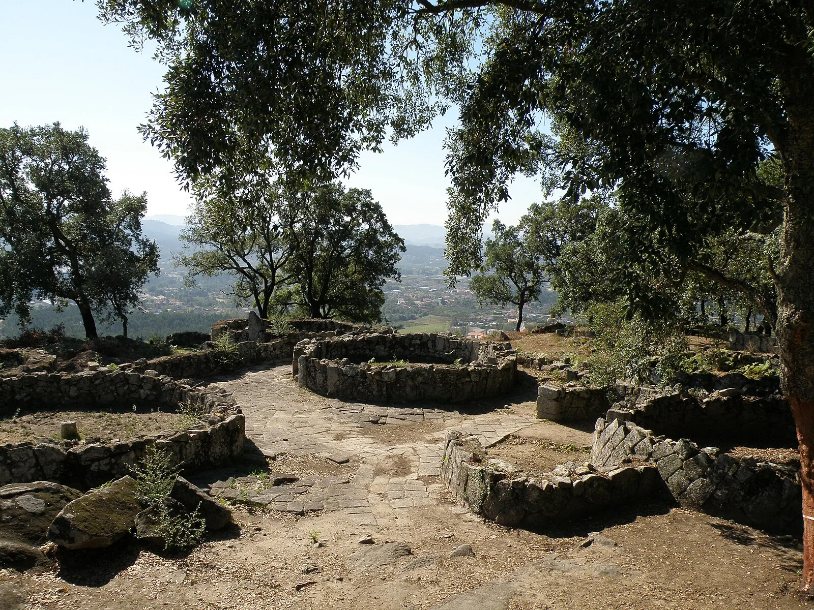
The Citânia de Briteiros is an archaeological site of the Castro culture located in the Portuguese civil parish of Briteiros São Salvador e Briteiros Santa Leocádia in the municipality of Guimarães; important for its size, "urban" form and developed architecture, it is one of the more excavated sites in northwestern Iberian Peninsula [1]. Although primarily known as the remains of an Iron Age proto-urban hill fort, the excavations at the site have revealed evidence of sequential settlement, extending from the Bronze to Middle Ages [1]. The majority of the ruins visible today have been dated from the second Iron Age, especially the last two centuries BCE [1]. The site is situated on a small promontory called Monte de São Romão between the civil parishes of Salvador de Briteiros and Donim, about 15 kilometres northwest of Guimarães [1]. The visible ruins of the walled village or hill fort include a plan of great dimensions with four lines of walls and approximately oval shape [1].
Text: Wikipedia – 'Citânia de Briteiros' (revision of 2026-03-22), CC BY-SA 4.0 · sentences selected and shortened by an AI system · source →Citânia de Briteiros
Also known as: Briteiroseko kastro, Briteiroseko kastroa, Briteirušas citānija, castre de Briteiros, Castro de Briteiros, シタニア・デ・ブリテイロス
| Type | City/town/settlement |
|---|---|
| Period | 500 BC - 1 AD |
| Country | Portugal |
| Coordinates | 41.5269° N, 8.3147° W |