
 Greece
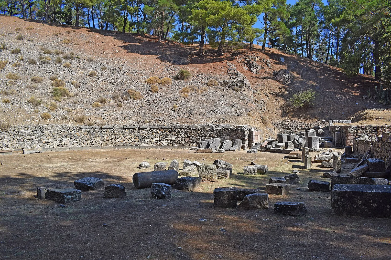
As an ancient city, lying off the east coast, Mytilene was initially confined to a small island just offshore that later was joined to Lesbos, creating a north and south harbor [1]. The early harbors of Mytilene were linked during ancient times by a channel 700 m long and 30 m wide [1]. The Roman writer Longus speaks of white stone bridges linking the two sides [1]. Salvage excavations carried out by the Archaeological Service in many areas of the city have revealed sites going back to the Early Bronze Age although most have been much later (Hellenistic and Roman) [1]. Particularly significant is a large stoa over a hundred metres long recently dug on the North Harbour of the city [1]. It is clear from various remains in different parts of the city that Mytilene was indeed laid out on a grid plan as the Roman architect Vitruvius had written [1].
Text: Wikipedia – 'Mytilene' (revision of 2026-09-20), CC BY-SA 4.0 · sentences selected and shortened by an AI system · source →Mytilene
Also known as: 뮈틸레네, 미틸레네, 미틸리니, Metelino, Metilene, Midilli, Midilli (şehir), Mitiléine, Mitilena, Mitilene, Mitileni, Mitileno
| Type | City/town/settlement |
|---|---|
| Period | 1500 - 500 BC |
| Country | Greece |
| Coordinates | 39.1001° N, 26.5499° E |