
 France
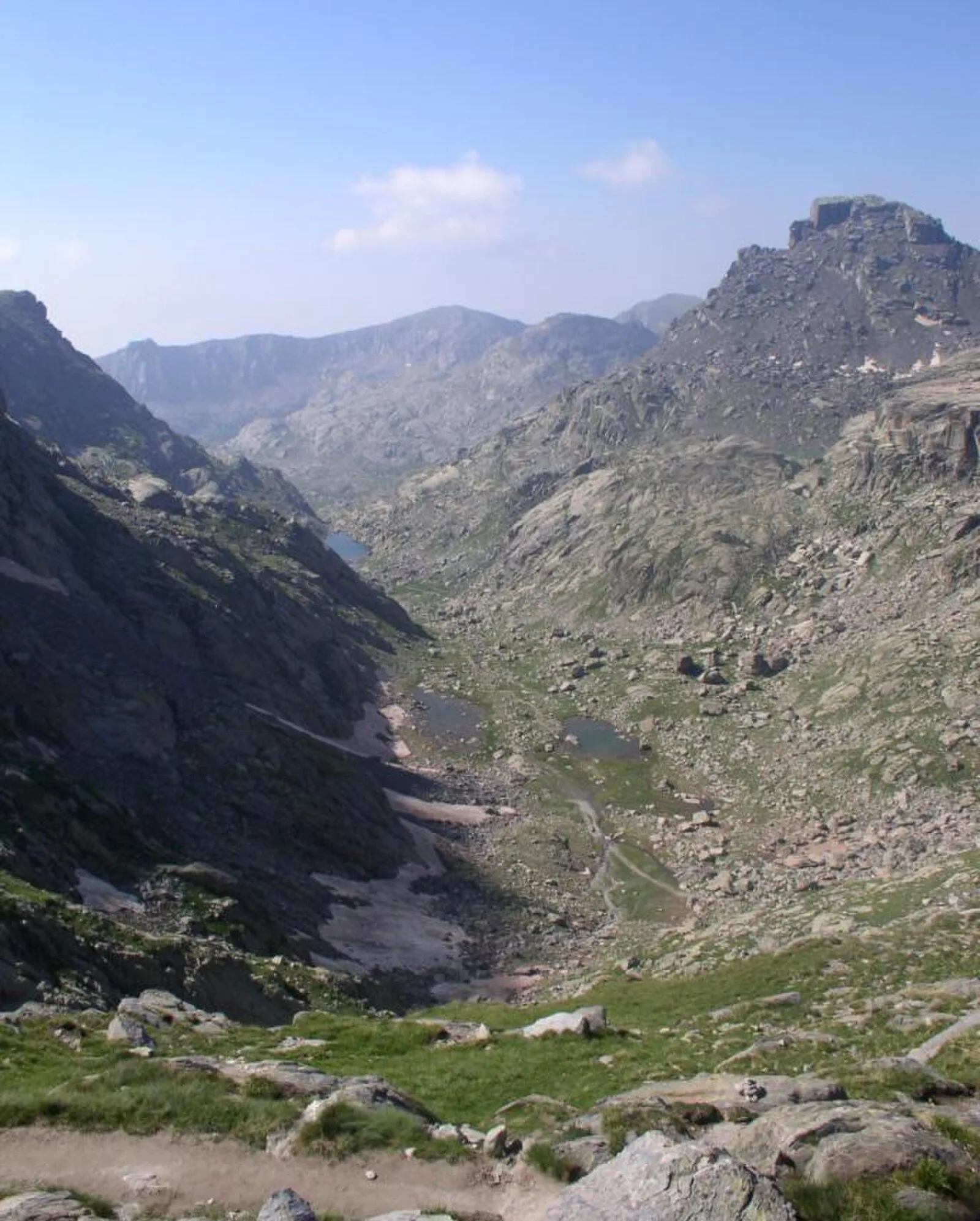
The Vallée des Merveilles, also known in Italian as the Valle delle Meraviglie, is a part of the Mercantour National Park in southern France [1]. It holds the largest quantity of open-air Bronze Age petroglyphs in Europe, after Val Camonica in Italy [1]. The valley is located near the Italian border, in the rugged mountains of the Argentera massif within the Maritime Alps, between Saint-Martin-Vésubie and Tende [1]. The petroglyphs (rock engravings), located on stone outcrops within the valley, were first identified by British amateur archaeologist Clarence Bicknell in 1881 [1]. Between 1897 and 1902, Bicknell copied and catalogued more than 10,000 drawings [1]. Suns, stars and spirals are represented [1]. Some anthropomorphic figures have been found [1].
Text: Wikipedia – 'Vallée des merveilles' (revision of 2026-04-17), CC BY-SA 4.0 · sentences selected and shortened by an AI system · source →Vallée des Merveilles
Also known as: Valle delle Meraviglie, Valo de la Mirindaĵoj, Долина чудес
| Type | Petroglyphs |
|---|---|
| Period | 4500 - 3000 BC |
| Country | France |
| Coordinates | 44.0762° N, 7.4384° E |