
 France
The Aqueduct of Luynes is a former Gallo-Roman bridge aqueduct located in Luynes [1]. The remains show a stack of five arches and it is the most famous Roman monument in the Department of Indre-et-Loire, despite its modest dimensions [1]. It is also one of the best preserved of the Northern aqueducts [1]. It was classified a historical monument in 1862 and is owned by the town of Luynes [1]. It originally had a total length of 1,825 metres, almost in a straight line, including 525 metres of raised causeway [1]. Its underground portion, and in particular its final journey, passes the hamlet of Villeronde [1]. Only a portion of the aqueduct-bridge is now visible as it passes through the "Valley of the Arennes" [1]. The remains of the aqueduct-bridge are located 1.5 km northeast of the centre of Luynes [1].
Text: Wikipedia – 'Aqueduct of Luynes' (revision of 2026-09-19), CC BY-SA 4.0 · sentences selected and shortened by an AI system · source →Aqueduct of Luynes
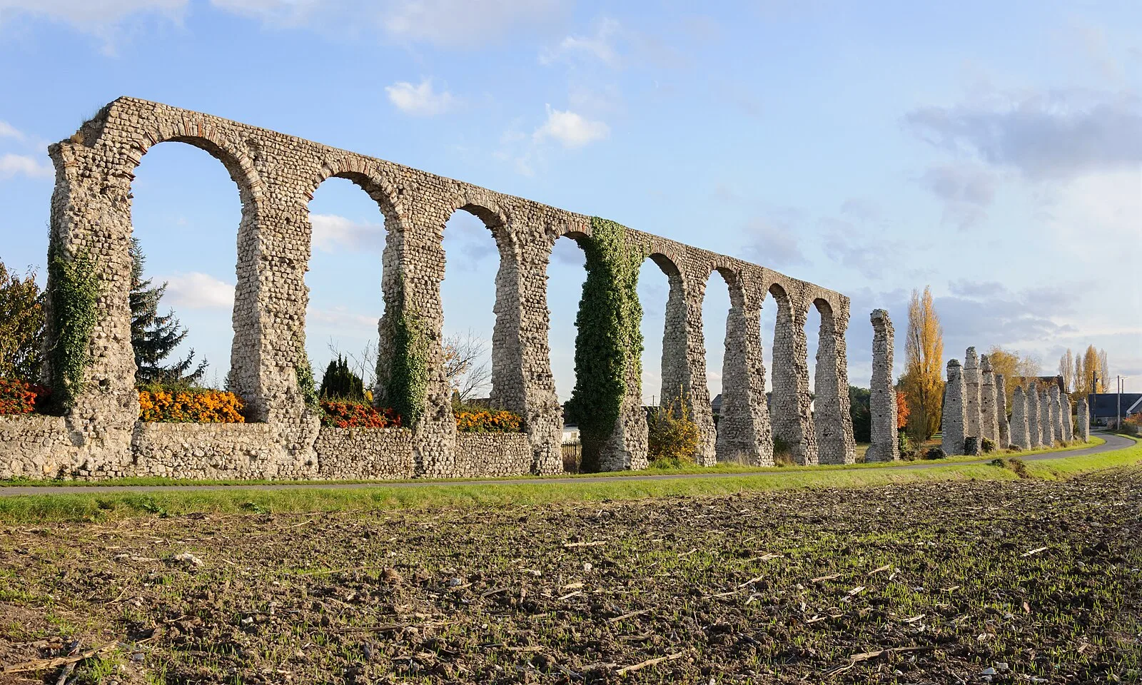
Also known as: Acquedotto di Luynes, Acueducto de Luynes, aqueduc de Luynes, Luynes Su Kemeri
| Type | Reservoir/aqueduct/canal |
|---|---|
| Period | 1 - 500 AD |
| Country | France |
| Coordinates | 47.3973° N, 0.5684° E |