
 England
Durrington Walls is the site of a large Neolithic settlement and later henge enclosure located in the Stonehenge World Heritage Site in England [1]. It lies 2 miles north-east of Stonehenge in the parish of Durrington, just north of Amesbury in Wiltshire [1]. The henge is the second-largest Late Neolithic palisaded enclosure known in the United Kingdom, after Hindwell in Wales [1]. The site was settled for about 500 years, starting sometime between c. 2800 and 2100 BC [1]. At some point c. 2600 BC, a large timber circle was constructed [1]. It is now known as the Southern Circle [1]. The circle was oriented southeast towards the sunrise on the midwinter solstice [1].
Text: Wikipedia – 'Durrington Walls' (revision of 2026-07-18), CC BY-SA 4.0 · sentences selected and shortened by an AI system · source →Durrington Walls
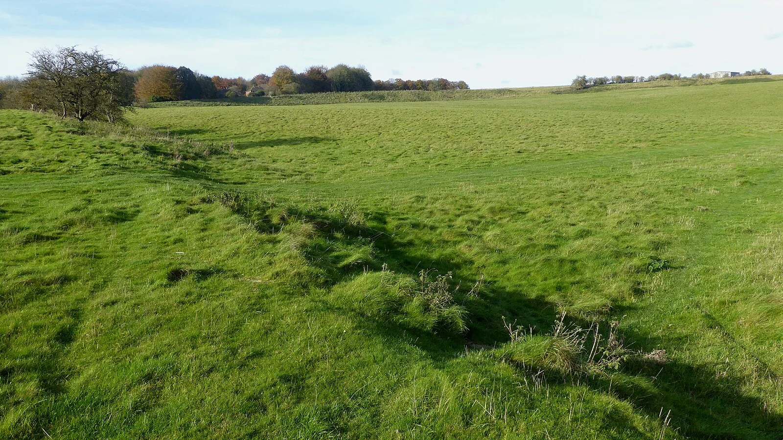
Also known as: Muroj de Durrington, Muros de Durrington, Murs de Durrington, Дарінгтон-Волс, Даррингтон-Уоллс, Даррингтон-Уолс, חומות דארינגטון, חומות דרינגטון, ڈورنگٹن دیواریں, ダーリントン・ウォールズ
| Type | Henge |
|---|---|
| Period | 3000 - 1500 BC |
| Country | England |
| Coordinates | 51.1926° N, 1.7875° W |