
 Belize
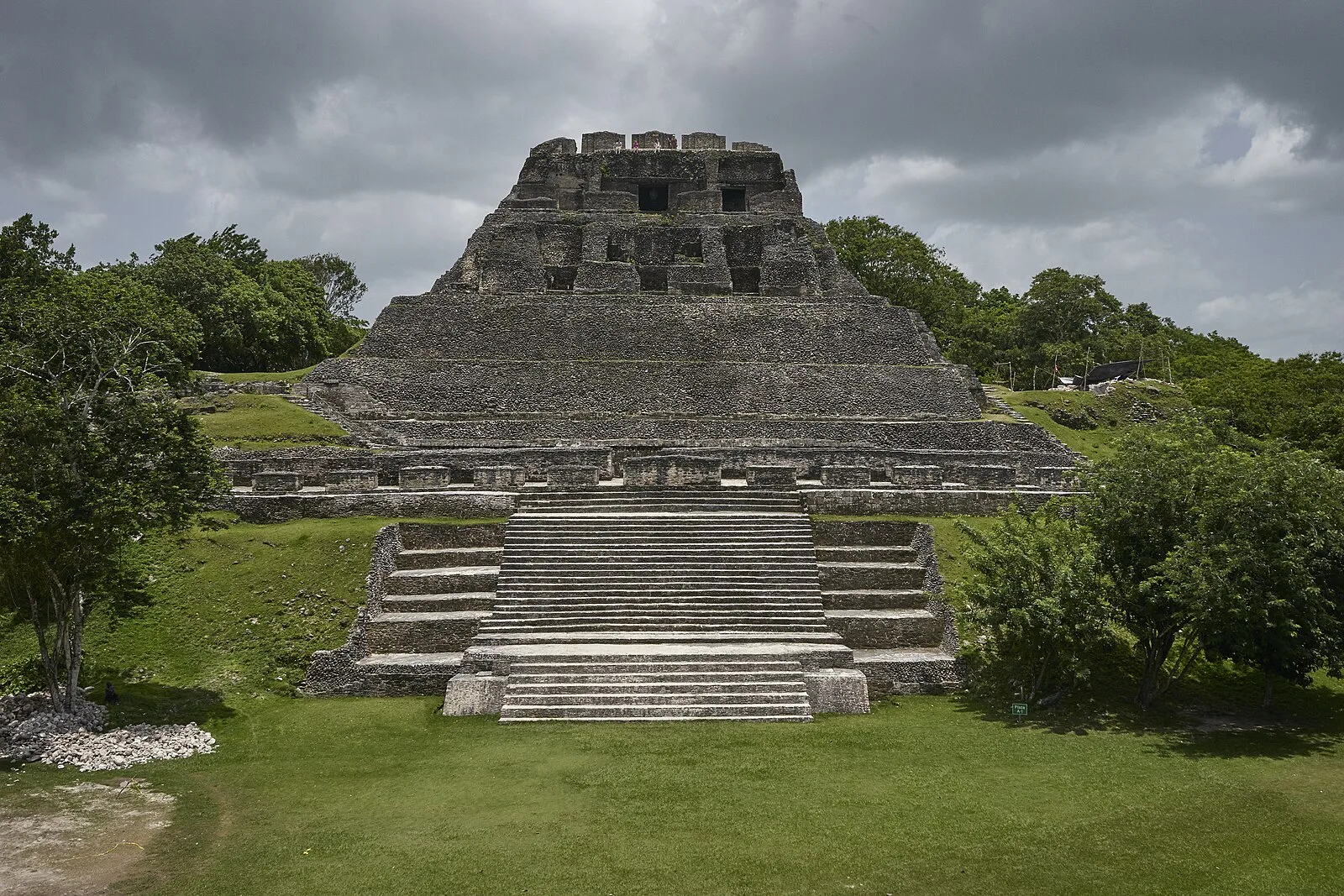
Xunantunich is an ancient Maya archaeological site in western Belize, about 70 miles west of Belize City, in the Cayo District [1]. Xunantunich is located atop a ridge above the Mopan River [1]. Xunantunich's name means "Maiden of the Rock" in the Maya languages Mopan and Yucatec [1]. Like many names given to Maya archaeological sites, "Xunantunich" is a modern name; the ancient name is unknown [1]. Architectural constructions boomed in Hats’ Chaak phase (AD 670–750) when Xunantunich's connection with the polity Naranjo solidified [1]. The core of the city Xunantunich occupies about one square mile, consisting of a series of six plazas surrounded by more than 26 temples and palaces [1]. One of Xunantunich's better known structures is the pyramid known as "El Castillo" (not to be confused with the El Castillo at Chichen Itza) [1].
Text: Wikipedia – 'Xunantunich' (revision of 2026-08-12), CC BY-SA 4.0 · sentences selected and shortened by an AI system · source →Xunantunich
Also known as: Šunantuničas, Xunantuniç, Шунантунич, Шунантуніч, קסונאנטוניץ', シュナントゥニッチ, 舒南图尼奇
| Type | Pyramid complex |
|---|---|
| Period | 1500 - 500 BC |
| Country | Belize |
| Coordinates | 17.0893° N, 89.1414° W |