
 Belize
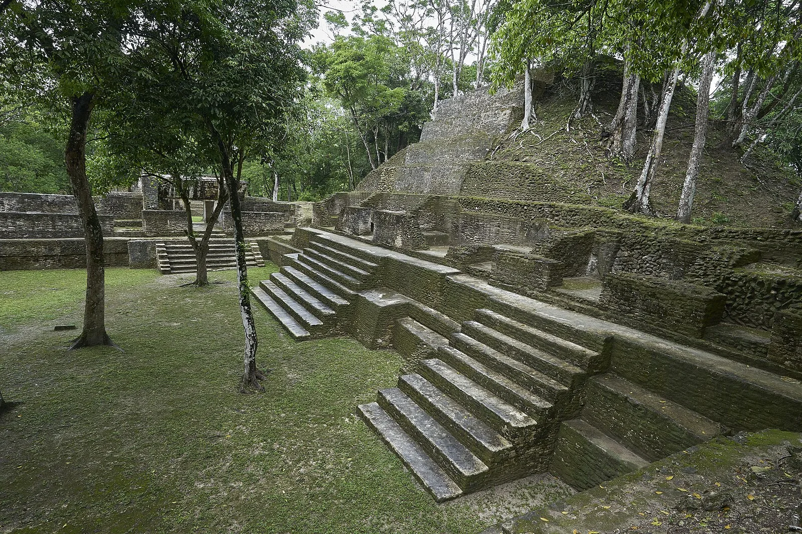
Cahal Pech is a Maya site located near the town of San Ignacio in the Cayo District of Belize [1]. The site rests high above the banks of the Macal River and is strategically located to overlook the confluence of the Macal River and the Mopan River [1]. The site is a collection of 34 structures, with the tallest temple being about 25 meters in height, situated around a central acropolis [1]. The site was abandoned in the 9th century CE for unknown reasons [1]. The name Cahal Pech, meaning "Place of the Ticks" in the Yucatec Maya language, was given when the area was used as pasture during the first archaeological studies in the 1950s, led by Linton Satterthwaite from the University of Pennsylvania Museum [1]. The primary excavation of the site began in 1988 [1].
Text: Wikipedia – 'Cahal Pech' (revision of 2026-07-18), CC BY-SA 4.0 · sentences selected and shortened by an AI system · source →Cahal Pech
Also known as: Kahal Pečas, Кахал Печ, Кахаль Печ, Кахаль-Печ, カル・ペチ, 卡哈帕奇
| Type | Pyramid complex |
|---|---|
| Period | 1500 - 500 BC |
| Country | Belize |
| Coordinates | 17.1458° N, 89.0741° W |