
 Belize
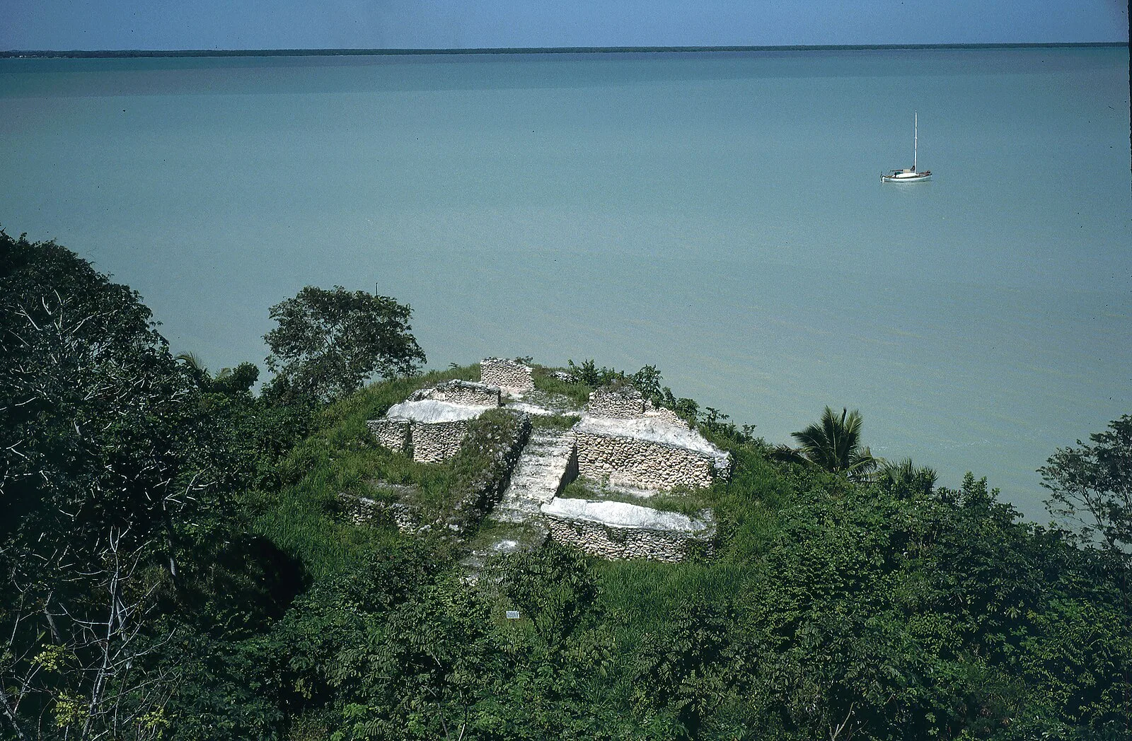
Cerros is an Eastern Lowland Maya archaeological site in northern Belize that functioned from the Late Preclassic to the Postclassic period [1]. The site reached its apogee during the Mesoamerican Late Preclassic and at its peak, it held a population of approximately 1,089 people [1]. The site is strategically located on a peninsula at the mouth of the New River where it empties into Chetumal Bay on the Caribbean coast [1]. The inhabitants of Cerros constructed an extensive canal system and utilized raised-field agriculture [1]. From the time of its inception in the Late Preclassic Era, around 400BC, the site of Cerros was a small village of farmers, fishermen and traders [1]. Around 50 BC, as their economy grew and they began to experiment with the idea of kingship, the inhabitants of Cerros initiated a great urban renewal program [1]. During the Late Preclassic long-distance trade contacts with volcanic areas were in existence as evidenced by the recovery of numerous pieces of jade and crystalline hematite and also visible in the monumental art of Cerros [1].
Text: Wikipedia – 'Cerros' (revision of 2026-07-19), CC BY-SA 4.0 · sentences selected and shortened by an AI system · source →Cerros
Also known as: Cerro Maya, Cerros (arkiyolohiyang dapit sa Belize), Cerros (Belice), Cerros (fornlämning i Belize), Serosas, Serros, Керрос, Серос, Серрос, גבעות
| Type | Pyramid complex |
|---|---|
| Period | 500 BC - 1 AD |
| Country | Belize |
| Coordinates | 18.3548° N, 88.3531° W |