
 Armenia
Carahunge, also known as Zorats Karer, Dik-Dik Karer, Tsits Karer and Karenish, is a prehistoric archaeological site near the town of Sisian in the Syunik Province of Armenia [1]. The Carahunge site is at latitude 39° 34' longitude 46° 01' on a mountain plateau at an altitude of 1,770 metres and occupies an area of about 7 hectares on the left side of the canyon of the River Dar, a tributary of the river Vorotan [1]. The Carahunge monument consists of the central circle, the north arm, the south arm, the north–east alley, the chord across the circle, and separated standing stones [1]. The site is rich with stone settings, burial cists and standing stones [1]. In total, 223 stones have been identified [1]. The stones are basalt, eroded by time and covered with moss and lichen of many colours [1]. The heights of the stones above ground-level varies from 0.5 to 3 m, and their weights range up to 10 tons [1]. Zorats Karer was investigated in 2000 by archaeologists from the Institut für Vorderasiatische Archäologie, LMU Munich, as part of a field survey of prehistoric sites in southern Armenia [1].
Text: Wikipedia – 'Carahunge' (revision of 2026-07-21), CC BY-SA 4.0 · sentences selected and shortened by an AI system · source →Carahunge Prehistoric Monument
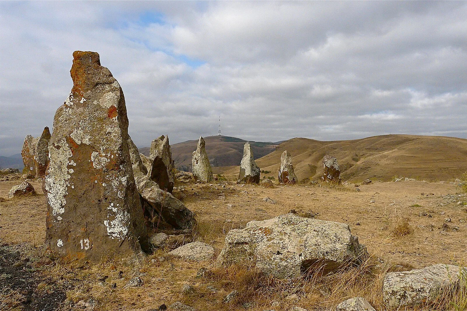
Also known as: Carahunge, Karahunĝ, Karahunj, Qarahunj, Qoşundaş, Qoşundaş abidəsi, Zorac Karer, Zorac Kareras, Zorakarer, Zorats Karer, Археологический памятник Зорац-Карер, Зарац-Карэр
| Type | Megalithic stones |
|---|---|
| Period | 3000 - 1500 BC |
| Country | Armenia |
| Coordinates | 39.5508° N, 46.0284° E |