
 Armenia
Baghaberd is a fortress located in the Dzork province of the Syunik province of historical Armenia [1]. According to the tradition reported by the historian Stepanos Orbelian, Patriarch Baghak, one of the descendants of Sisak, receives the Dzork province as an inheritance, builds the Baghak’s Stone fortress, and fortifies the stronghold, naming it Baghaberd [1]. As an impregnable fortress, it has been known since the 4th-5th centuries [1]. The significance of Baghaberd increases especially during the 10th-12th centuries, in the period of the Kingdom of Syunik or Baghk [1]. Baghaberd is situated at the confluence of the Voghjaget and Giratagh rivers, at a height of 200 m from the riverbed [1]. The first row of fortress walls, which is located on the lowest elevation mark, is near the riverbed of the Giratagh River, at the foot of the immense western rocky slope, of which a vertical section about 60 m in length has been preserved [1]. The second zone of fortress walls is about 150 m higher than the latter [1].
Text: Wikipedia – 'Baghaberd' (revision of 2026-07-19), CC BY-SA 4.0 · sentences selected and shortened by an AI system · source →Baghaberd Fortress
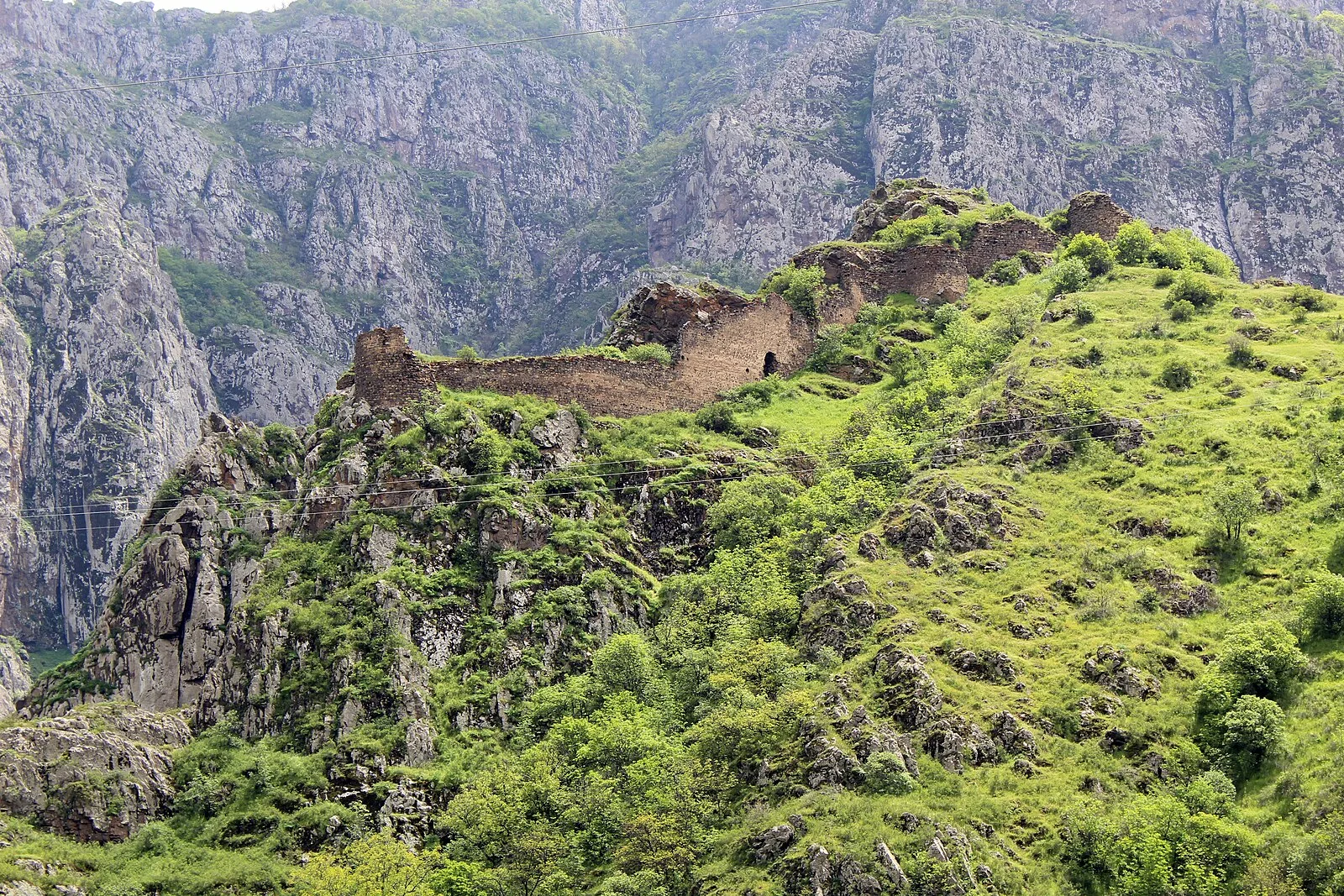
Also known as: Baghaberd, Baghaberd Kalesi, Balaberda, Oxçu qalası, Μπαγκαμπέρντ, Багаберд, Бахаберд, ბაღაბერდი, Բաղաբերդ, Դավիթ Բեկի բերդ, باغابرد, باغابیرد
| Type | Fortress/citadel |
|---|---|
| Period | 1 - 500 AD |
| Country | Armenia |
| Coordinates | 39.2153° N, 46.2782° E |