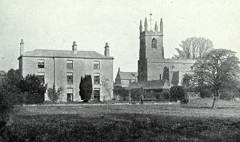
Great Casterton

Great Casterton
Unknown authorUnknown author · Public domain

Roman fort established c. 44 AD on the north bank of the River Gwash during the Claudian campaigns, guarding the crossing of Ermine Street. The 6-acre fort housed auxiliary cavalry and spawned a civilian vicus that grew into an 18-acre walled town with defensive earthworks upgraded in the 4th century. Excavations revealed a mansio bath building, pottery kilns, and a Roman-Saxon burial ground. A notable 2015 discovery of a skeleton with locked iron ankle fetters provided rare evidence of slavery in Roman Britain. The town and a nearby villa remained occupied into the 5th century AD.

TypeCity/town/settlement
Period1 - 500 AD
CountryEngland
Coordinates52.6695° N, 0.5128° W

Related resources

More sites in England

Rutland Roman Villa · Apethorpe Roman Villa · Thistleton · Ponton Heath Barrow Cemetery · King Lud's Entrenchments and The Drift · Ancaster, Lincolnshire · Flag Fen · Must Farm Bronze Age Settlement · Ashley, Northamptonshire · Burrough Hill · Car Dyke · Overstone Anglo-Saxon Cemetery · Mowsbury Hill · Via Devana · Margidunum · Washingborough · Witham Shield · Foss Dyke · Fiskerton Log Boat · Lindum Colonia · Newport Arch · Piddington Roman Villa · Sandy, Bedfordshire · Fen Causeway

All sites in England

Was this page useful?

Keep exploring

Every site on this page sits on the globe, and the people who research them are on the Discord.

3D Globe · Sites by country · Story Archive · Research Library · Weekly Journal · Search