
 South Korea
The Earthen Fortification at Pungnap-dong is a prehistoric earthwork in Seoul, South Korea, dating to approximately 500 BC–1 AD[1]. Located at the edge of the Han River in present-day Songpa-gu district, this flat earthen wall forms a long oval shape extending north-south and slightly leaning eastward[1]. The massive structure encompasses a circumference of approximately 3.5 kilometers (2.2 miles), making it one of the larger known earthworks from the Korean Three Kingdoms period[1]. The site occupies a strategic position along the Han River floodplain, likely serving defensive and administrative functions for ancient settlements in the region[1].
Earthen Fortification, Pungnap-dong
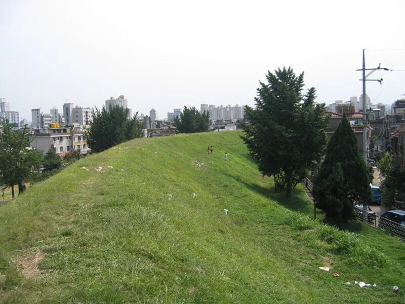
| Type | Earthwork |
|---|---|
| Period | 500 BC - 1 AD |
| Country | South Korea |
| Coordinates | 37.5304° N, 127.1161° E |