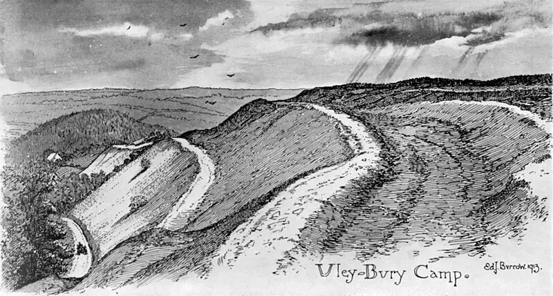
Uley Bury

Uley Bury
Edward J. Burrow · Public domain

An impressive multi-vallate Iron Age hillfort on the Cotswold escarpment near Uley, Gloucestershire, occupied c. 300 BC to 100 AD. The bivallate fort covers 13 hectares with a 1.6 km oblong perimeter at 235 metres elevation, commanding views over the Severn Vale. Excavations in 1976 revealed a crouched burial, Iron Age pottery, shale armlets, a glass bead, and currency bars. One of the largest hillforts in the Cotswold region, likely occupied by the Dobunni Celtic tribe.

TypeFortress/citadel
Period500 BC - 1 AD
CountryEngland
Coordinates51.6884° N, 2.3116° W

More sites in England

Uley · Uley Long Barrow · Nympsfield Long Barrow · Woodchester Roman Villa · Longstone of Minchinhampton · Little Sodbury · Kimsbury Hill Fort · Glevum · Nettleton, Wiltshire · Lugbury Long Barrow · Windmill Tump · Great Witcombe Roman Villa · Welshbury Hill · Bury Camp · Lydney Park · Solsbury Hill · Welsh Way · Bathampton Down · Ariconium · Roman Baths, Bath · Aquae Sulis · Midford Castle · St Laurence School - Roman Villa · Corinium Dobunnorum

All sites in England

Was this page useful?

Keep exploring

Every site on this page sits on the globe, and the people who research them are on the Discord.

3D Globe · Sites by country · Story Archive · Research Library · Weekly Journal · Search