
 Ukraine
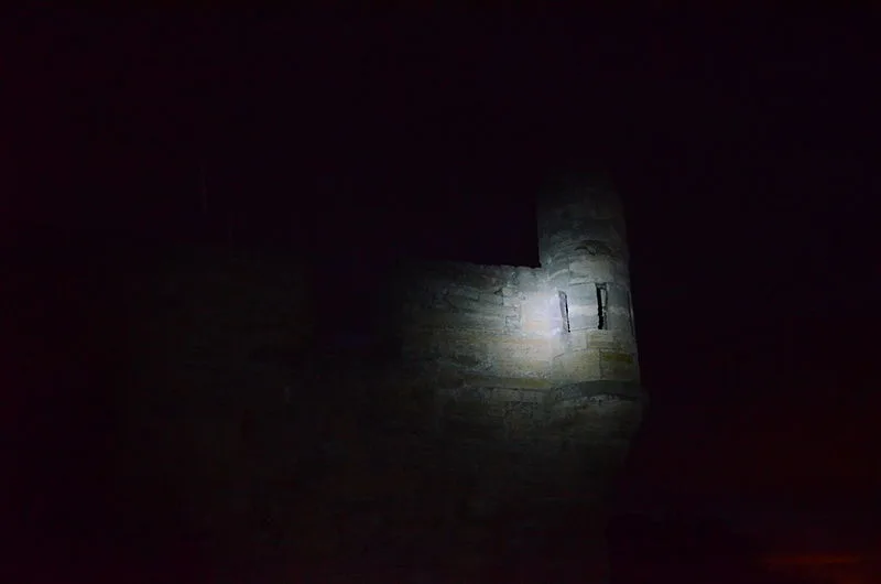
An Ottoman fortress built in 1699-1706 on the shore of the Kerch Strait in Crimea, designed by Goloppo, an Italian convert to Islam, along with French engineers. Strategically positioned at the strait's narrowest point to control passage between the Azov and Black Seas, it occupied approximately 2.5 hectares and housed a garrison of 800 Turkish and 300 Tatar soldiers. The fortress contained two powder magazines, an arsenal, a mosque, bathhouse, and a freshwater aqueduct connecting to distant springs. Captured by Russian forces in 1771 during the Russo-Turkish War and ceded to Russia by the Treaty of Kucuk Kaynarca in 1774, it later served as a military hospital before being abandoned in the 1880s.
Yenikale Ruins
| Type | Fortress/citadel |
|---|---|
| Period | 1500+ AD |
| Country | Ukraine |
| Coordinates | 37.9503° N, 38.6535° E |