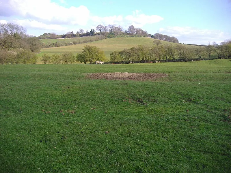
Arbury Hill

Arbury Hill
Stavros1 at en.wikipedia · CC BY-SA 3.0

Arbury Hill, at 225 metres, is the joint highest point in Northamptonshire, England, located 9 km southwest of Daventry. On its summit lie the vestiges of a probable Iron Age fort, though its date and origin were disputed by the Royal Commission in 1981. The remains consist of a square ditch and embankment roughly 200 metres across, enclosing about 4.9 hectares. The hill also marks a drainage divide between the Nene, Cherwell, and Leam river catchments. Agriculture has significantly damaged the earthworks over the centuries.

TypeFortress/citadel
Period1500 - 500 BC
CountryEngland
Coordinates52.2243° N, 1.2100° W

Related resources

More sites in England

Borough Hill · Borough Hill Roman Villa · Bannaventa · Nether Heyford · Rainsborough Camp · Lactodurum · Hunsbury Hill · Aves Ditch · Akeman Street · Alchester - Roman Town · Earl Shilton · Piddington Roman Villa · Cosgrove, Northamptonshire · Overstone Anglo-Saxon Cemetery · Raw Dykes · Via Devana · Jewry Wall · Ratae Corieltauvorum · King Richard III Visitor Centre · Rollright Stones · North Leigh Roman Villa · Ashley, Northamptonshire · Lyneham Long Barrow · Beacon Hill, Leicestershire

All sites in England

Was this page useful?

Keep exploring

Every site on this page sits on the globe, and the people who research them are on the Discord.

3D Globe · Sites by country · Story Archive · Research Library · Weekly Journal · Search