
 England
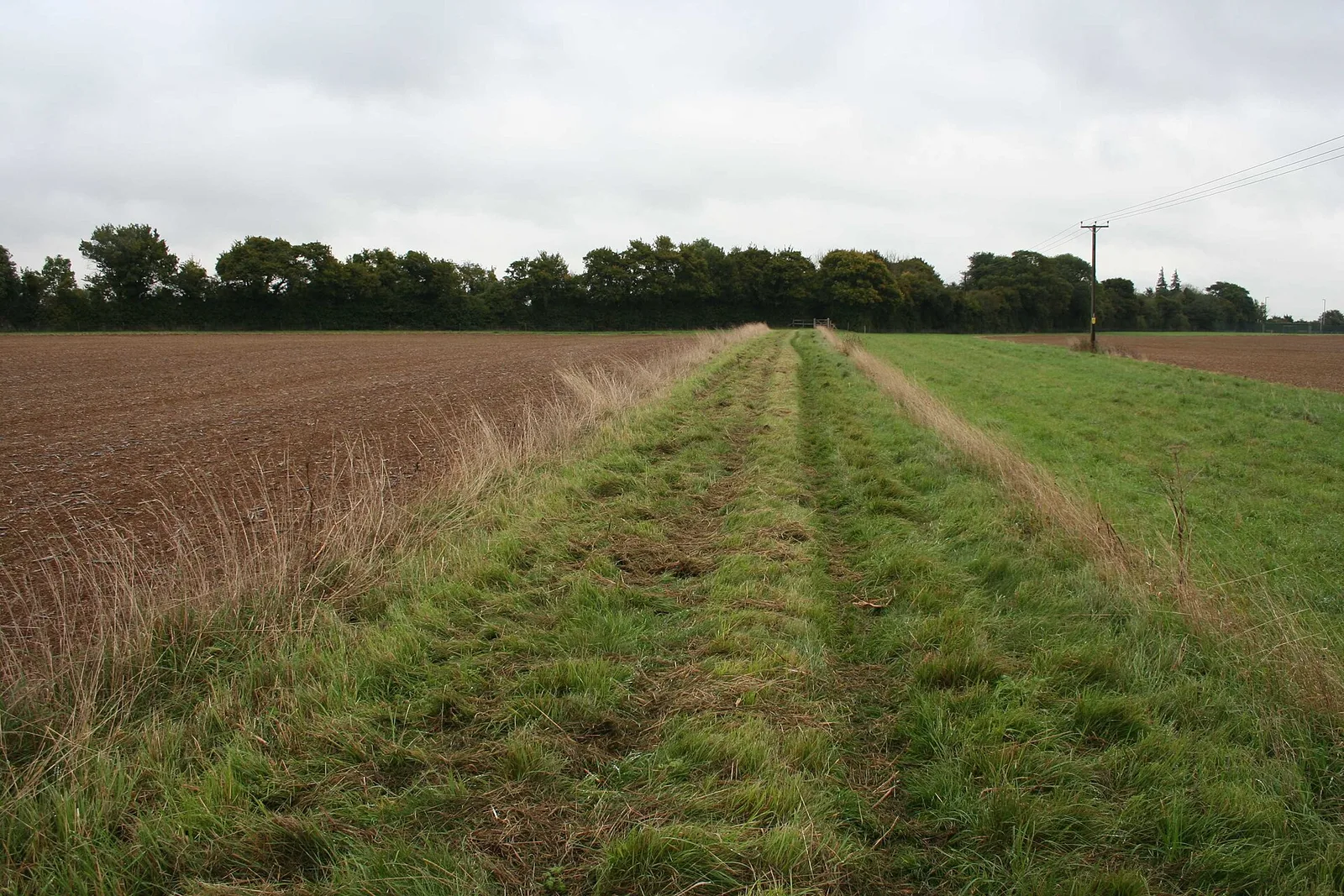
Akeman Street is a Roman road in southern England between the modern counties of Hertfordshire and Gloucestershire [1]. It is approximately 117 kilometres long and runs roughly east–west [1]. Akeman Street linked Watling Street just north of Verulamium (near modern St Albans) with the Fosse Way at Corinium Dobunnorum (now Cirencester) [1]. Evidence suggests that the route may well have been an older track, metalled and reorganised by the Romans [1]. Its course passes through towns and villages including Hemel Hempstead, Berkhamsted, Tring, Aylesbury, Alchester (outside modern Bicester), Stonesfield (where a large Roman villa was discovered around 1712), Chesterton, Kirtlington, Ramsden and Asthall [1].
Text: Wikipedia – 'Akeman Street' (revision of 2025-11-30), CC BY-SA 4.0 · sentences selected and shortened by an AI system · source →Akeman Street
Also known as: דרך אקמאן, 阿克曼街
| Type | Road/avenue/trackway |
|---|---|
| Period | 1 - 500 AD |
| Country | England |
| Coordinates | 51.8863° N, 1.1920° W |