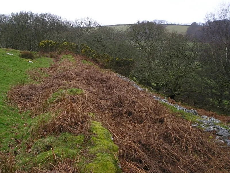
Caer Gwrtheyrn

Caer Gwrtheyrn
Marion Phillips · CC BY-SA 2.0

Caer Gwrtheyrn (Craig Gwrtheyrn) is an Iron Age hillfort on a prominent hill overlooking the River Teifi, located about 1.9 km west of Llanfihangel-ar-Arth in Carmarthenshire, Wales[1]. The fortifications measure approximately 160 m north-south and 125 m east-west, enclosing roughly 1.5 hectares (3.7 acres)[1]. The drystone rampart represents typical Iron Age defensive architecture in Wales[1].

TypeFortress/citadel
Period1500 - 500 BC
CountryWales
Coordinates52.0385° N, 4.2853° W

Related resources

More sites in Wales

Castell Nadolig · Llansteffan Castle · Dolaucothi Gold Mines · Y Garn Goch · Foel Drygarn Hillfort · Pen Dinas · Gaer Fawr, Llanilar · Carn Menyn · Burry Holms · Bedd Arthur · Trawscoed Fort · Castell Henllys · Cefn Bryn · Parc Cwm Long Cairn · The Knave · Hen Gaer · Pentre Ifan · Waun Mawn · Mynydd Carningli · Carreg Coetan Arthur · Banc Du · Bedd Taliesin · Craig Ty-Isaf · Buarth-y-Gaer

All sites in Wales

Was this page useful?

Keep exploring

Every site on this page sits on the globe, and the people who research them are on the Discord.

3D Globe · Sites by country · Story Archive · Research Library · Weekly Journal · Search