
 Scotland
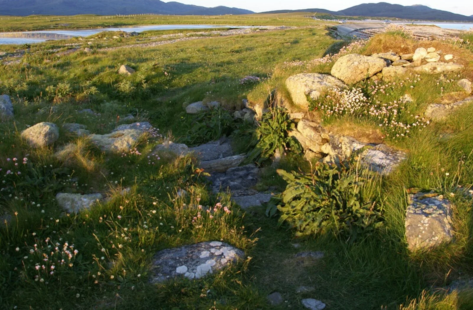
Dun Vulan Broch (Scottish Gaelic: 'Dùn Mhùlan' or 'Dùn Mhaoilinn') is an Iron Age broch in South Uist, Scotland [1]. The site is now situated on an exposed promontory but was originally on a freshwater lake [1]. Dun Vulan is an Iron Age (c. 150–50 BC) broch located on the southern edge of the promontory; it is now protected as a sea wall [1]. Excavations revealed an oval-shaped broch with a maximum diameter of 19.5 metres, with walls surviving to 4.5 metres in height and 4 metres in width [1]. Between June 1991 and July 1996 Dun Vulan was excavated as part of the SEARCH (Sheffield Environmental and Archaeological Research Campaign in the Hebrides) Project [1]. The excavations suggested that there were no earlier structures predating the main structure on site [1].
Text: Wikipedia – 'Dun Vulan' (revision of 2026-07-18), CC BY-SA 4.0 · sentences selected and shortened by an AI system · source →Dun Vulan
Also known as: Dun Vulan,dun,Loch Ardvule
| Type | Fortification |
|---|---|
| Period | 500 BC - 1 AD |
| Country | Scotland |
| Coordinates | 57.2407° N, 7.4491° W |