
 Scotland
Caisteal Grugaig is an Iron Age broch perched on a rocky knoll overlooking Loch Alsh in the Scottish Highlands. Brochs are drystone roundhouse towers unique to Scotland, featuring multiple floors connected by stairways within hollow double-skinned walls, serving as both defensive structures and symbols of elite status. Though much of the upper structure has been lost, walls standing up to three metres high survive, along with a large triangular entrance lintel and a well-preserved scarcement ledge. The site was documented by Sir Henry Dryden in the 1870s and surveyed using laser scanning in 2010.
Caisteal Grugaig
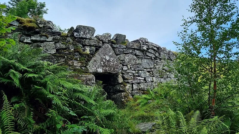
Also known as: Caisteal Grugaig, broch 900m WSW of Totaig, Castle oft the Witch, Dun Totaig, Totaig Broch
| Type | Minaret/tower |
|---|---|
| Period | 3000 - 1500 BC |
| Country | Scotland |
| Coordinates | 57.2666° N, 5.5392° W |