
 Scotland
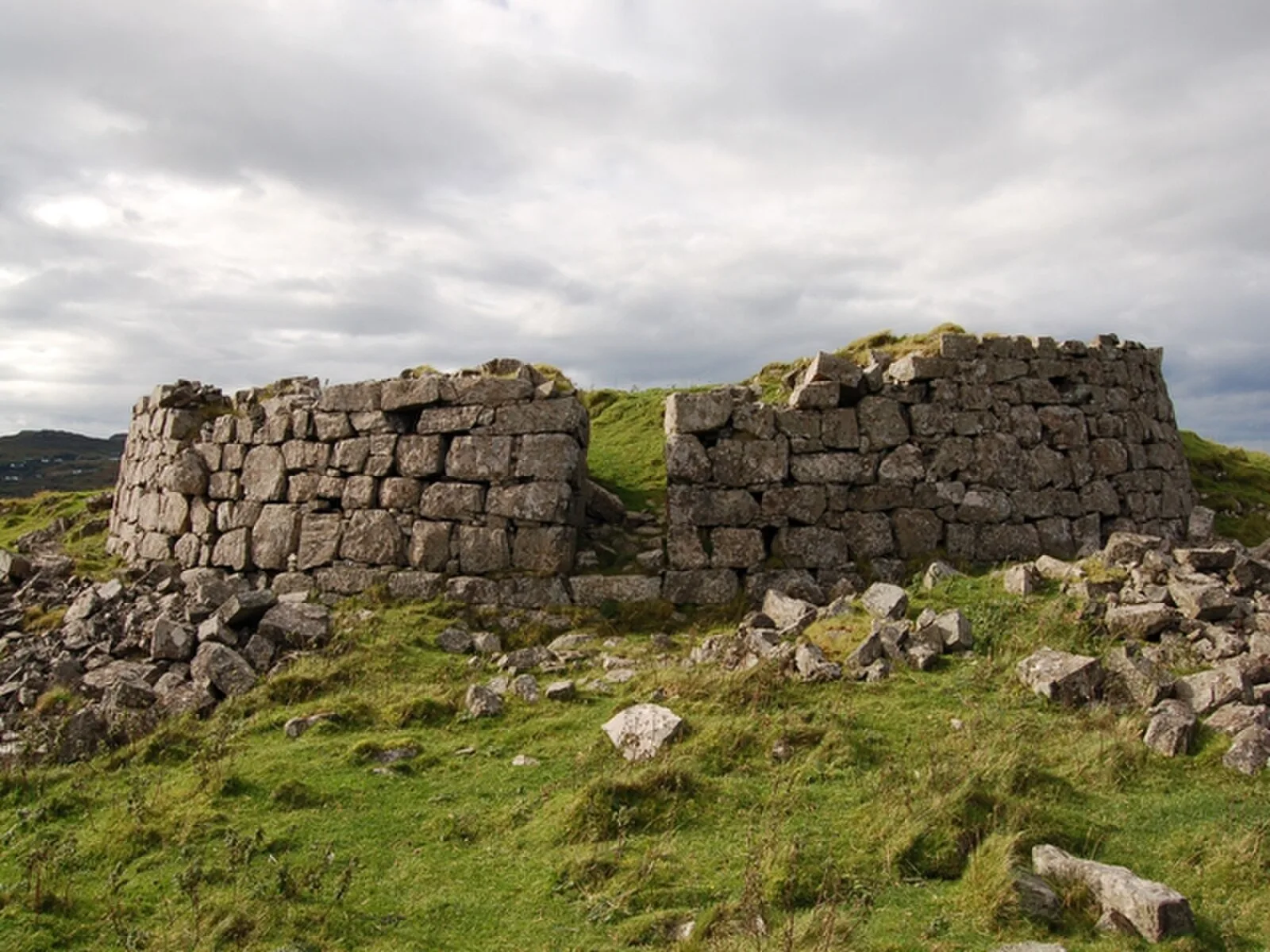
Dun Ardtreck is a D-shaped dun, or "semi-broch", located on the west coast of the island of Skye [1]. The entrance is particularly well-preserved with door-checks characteristic of brochs [1]. Dun Ardtreck was excavated by Euan W. MacKie in 1964-5 as part of an exercise to establish the development of the broch [1]. It had been built in two stages: a roughly level platform was constructed and on this was set the galleried wall [1]. Charcoal from the platform was radiocarbon dated to 115 BC [1]. The first phase of occupation seems to have been very short and it appears to have ended in violence and destruction [1]. The second phase was dated from the pottery finds to the middle of the 2nd century AD [1]. The finds from this period included iron tools, bronze ornaments and glass ring-heads as well as Roman Samian ware pottery sherds and a piece of a Roman bead [1].
Text: Wikipedia – 'Dun Ardtreck' (revision of 2026-07-21), CC BY-SA 4.0 · sentences selected and shortened by an AI system · source →Dun Ardtreck
| Type | Fort |
|---|---|
| Period | 500 BC - 1 AD |
| Country | Scotland |
| Coordinates | 57.3348° N, 6.4301° W |