
 Netherlands
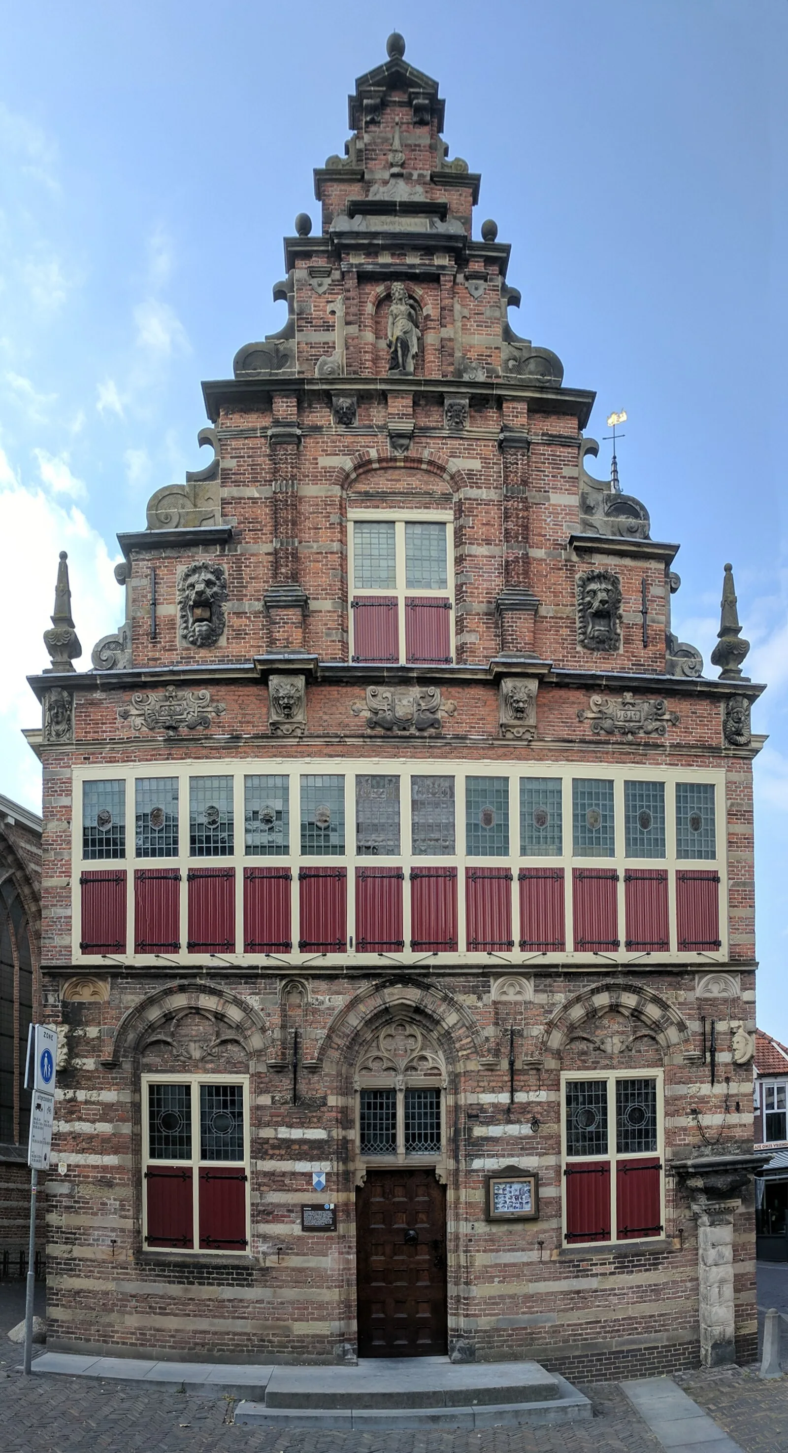
Woerden is situated on the river Oude Rijn, near the confluence with the former Linschoten (water) stream [1]. Near the former confluence was an area that was slightly more elevated than the surroundings, a natural levee, which — in an area that is prone to flooding — made it an attractive location for settlement [1]. Here, at the highest spot, the Romans built a castellum (Castellum Laurum), as part of the limes of the Roman Empire and thus part of the defense lines of the northern border of the Roman Empire [1]. The first castellum was built in the 40s AD and was destroyed in 69 AD during the Batavian rebellion [1]. In 70 AD, the castellum was rebuilt, and the Romans remained until 402 AD, with an interruption lasting from about 275-300 AD [1]. A Frankish sword dated from the 8th century has been found on the site of the Roman Castellum in 2012 [1].
Text: Wikipedia – 'Woerden' (revision of 2026-05-18), CC BY-SA 4.0 · sentences selected and shortened by an AI system · source →Woerden
Also known as: Gemeente Woerden, Vurdenas, Woerden (chemun), Вурден, Вурдэн, Վուրդեն, فوردن, ووڈرن, ووردن, वूर्डन, ウールデン, ヴルデン
| Type | City/town/settlement |
|---|---|
| Period | 1 - 500 AD |
| Country | Netherlands |
| Coordinates | 52.0835° N, 4.8834° E |