
 Netherlands
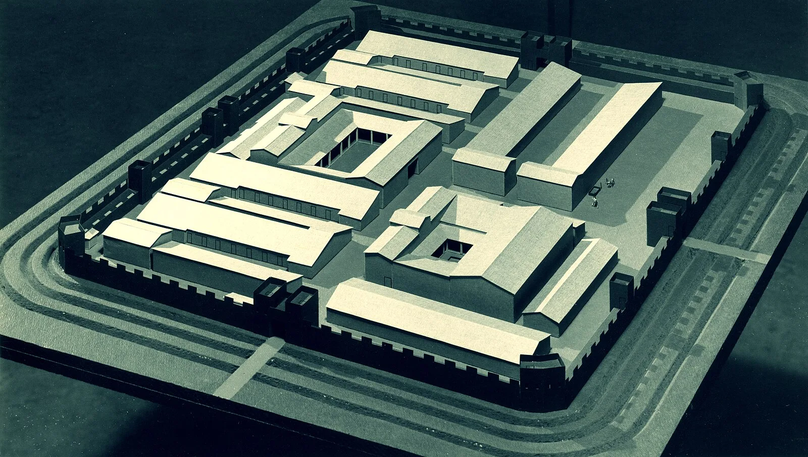
Praetorium Agrippinae was a Roman settlement in the province of Lower Germania, in the area of the Cananefates, located in modern-day Valkenburg [1]. It was an army encampment on the Old Rhine, on the northern border of the Roman Empire, the limes [1]. Praetorium Agrippinae is mentioned on the Tabula Peutingeriana between the castella of Matilo in the east and Lugdunum Batavorum to the west [1]. The fort was built in the current centre of Valkenburg, and was at first fortified by a palisaded earthen wall and three moats [1]. To the southeast of the fortress, a large civil settlement developed, stretching for approx. 1 km along the via militaris [1]. It was inhabited between approx. 70 and 240 AD [1]. Archaeological investigations have uncovered living quarters, storehouses and granaries, and possibly a bath house [1]. Investigations started in 1875, but the main excavations were done between 1941 and 1953 under the direction of Albert Egges van Giffen [1].
Text: Wikipedia – 'Praetorium Agrippinae' (revision of 2026-09-02), CC BY-SA 4.0 · sentences selected and shortened by an AI system · source →Praetorium Agrippinae
| Type | Fort |
|---|---|
| Period | 1 - 500 AD |
| Country | Netherlands |
| Coordinates | 52.1798° N, 4.4316° E |