
 Chile
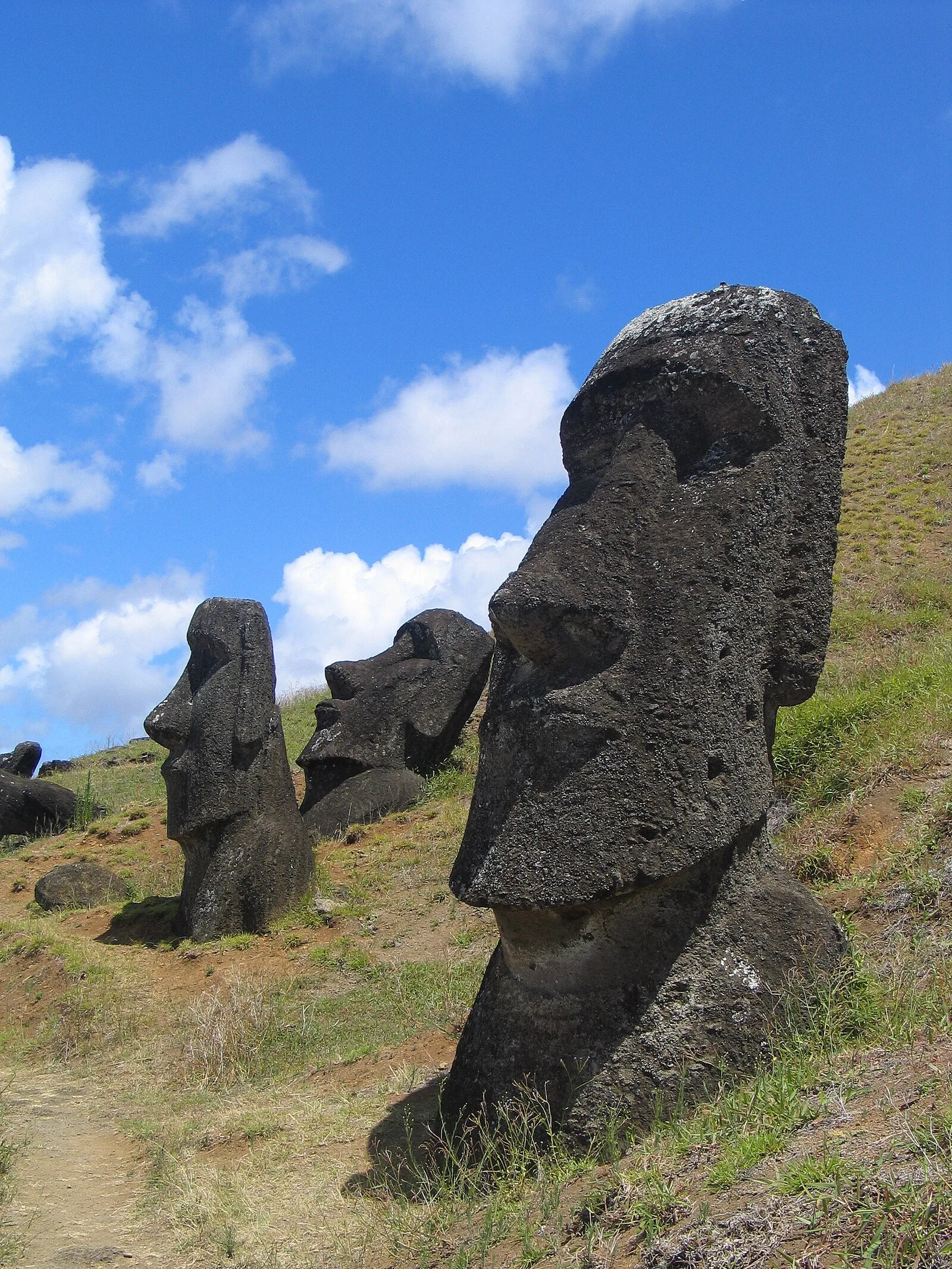
ChileEaster Island is an island and special territory of Chile in the southeastern Pacific Ocean, at the southeasternmost point of the Polynesian Triangle in Oceania [1]. The first recorded European contact with the island was on April 5, 1722, Easter Sunday [1]. Easter Island is a volcanic island, consisting mainly of three extinct coalesced volcanoes: Terevaka forms the bulk of the island, while two other volcanoes, Poike and Rano Kau, form the eastern and southern headlands and give the island its roughly triangular shape [1]. Almost all moai were carved from compressed, easily worked solidified volcanic ash or tuff, found at a single site on the side of the extinct volcano Rano Raraku [1]. The native islanders who carved them used only stone hand chisels, mainly basalt toki, which lie in place all over the quarry [1]. Of the 313 known ahu, 125 carried moai – usually just one, probably because of the shortness of the moai period and transportation difficulties [1]. Ahu Tongariki, one km from Rano Raraku, had the most and tallest moai, 15 in total [1].
Text: Wikipedia – 'Easter Island' (revision of 2026-09-20), CC BY-SA 4.0 · sentences selected and shortened by an AI system · source →Easter Island
Also known as: 이스터섬, Bô-uăk-cáik-dō̤, Đảo Phục Sinh, Easter iland, Easter Island (pulo sa Tśile), Ellan y Chaisht, Enez Pask, Erékùṣù Àjínde, Fu̍k-fa̍t-chiet-tó, Gündogar adalary, Húsvét-sziget, Ila de Pâques
| Type | Geological interest |
|---|---|
| Period | 1000 - 1500 AD |
| Country | Chile |
| Coordinates | 27.1167° S, 109.3583° W |