
 Algeria
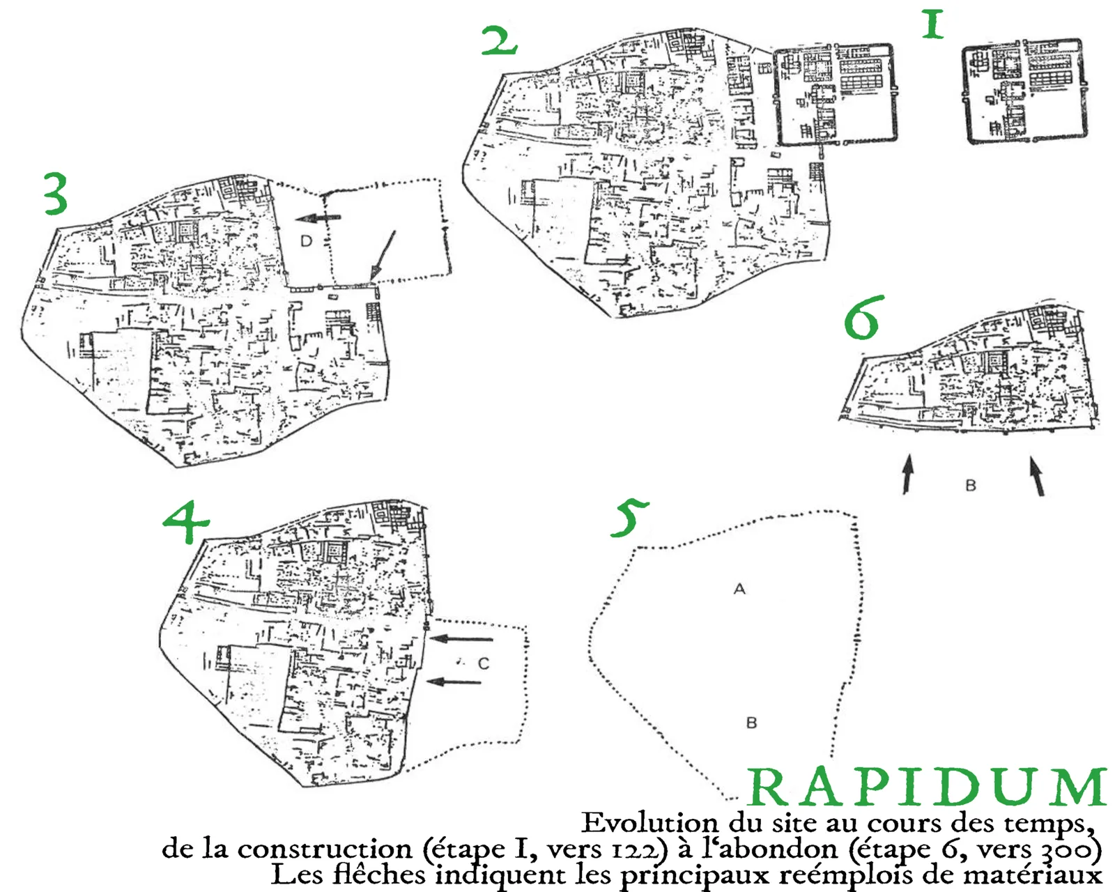
Rapidum was a Roman settlement and fort located in Mauretania Caesariensis, nearly 100 km south of Icosium (Algiers) [1]. Soon under Hadrian near the fort grew up a civilian settlement called "Rapidum", on the Roman road called the Nova Praetentura [1]. The original castrum of Rapidum remained until 201 AD, while the town survived until emperor Aurelian when it was destroyed by Berber nomads [1]. The initial garrison of Rapidum fort was – according to historian M. Ruiu – the Cohors II Sardorum and protected the new limes of the Roman Empire moved south from the Mediterranean shores to a military road called Nova Praetentura [1]. This road went from Rapidum near Numidia to Altava and to Numerus Syrorum at the border of Mauretania Tingitana [1]. Rapidum was named "municipium" and had an extension of 15 hectares under Marcus Aurelius (with nearly 4,000 inhabitants, mostly romanised Berbers, like Auzia) [1].
Text: Wikipedia – 'Rapidum' (revision of 2026-08-18), CC BY-SA 4.0 · sentences selected and shortened by an AI system · source →Rapidum
Also known as: Рапидум, Рапідум (руїни), رابيدوم
| Type | Fort |
|---|---|
| Period | 1 - 500 AD |
| Country | Algeria |
| Coordinates | 36.1364° N, 3.4218° E |