
 Guatemala
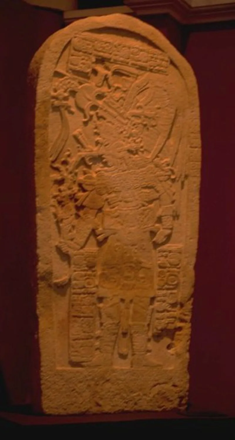
Machaquila (or Machaquilá, using Spanish orthography) is a major ruined city of the Maya civilization in what is now the El Peten department of Guatemala [1]. Machaquila is situated on the banks of the lower Machaquila River, which is a major tributary of the Pasión River [1]. During the Classic period, the city's location would have placed it upon a trade route running from the Maya Mountains in the east to the Pasión River in the west, and ultimately to the Usumacinta River [1]. Machaquila flourished in the Late to Terminal Classic periods, reaching the height of its power in approximately the ninth century [1]. The principal architecture at Machaquila has been dated to the Late Classic period, and includes temples and palace complexes [1]. Machaquila is unusual in the local region in lacking both an E-Group astronomical complex, and a ballcourt, which are both architectural arrangements that are often found in neighbouring cities [1]. Machaquila is not particularly notable for its architecture or size, rather for its abundant sculpted monuments [1].
Text: Wikipedia – 'Machaquila' (revision of 2025-03-01), CC BY-SA 4.0 · sentences selected and shortened by an AI system · source →Machaquila
Also known as: Мачакила, Мачакіла, マチャキラー, 馬查奎拉
| Type | City/town/settlement |
|---|---|
| Period | 500 - 1000 AD |
| Country | Guatemala |
| Coordinates | 16.3189° N, 89.8605° W |