
 Guatemala
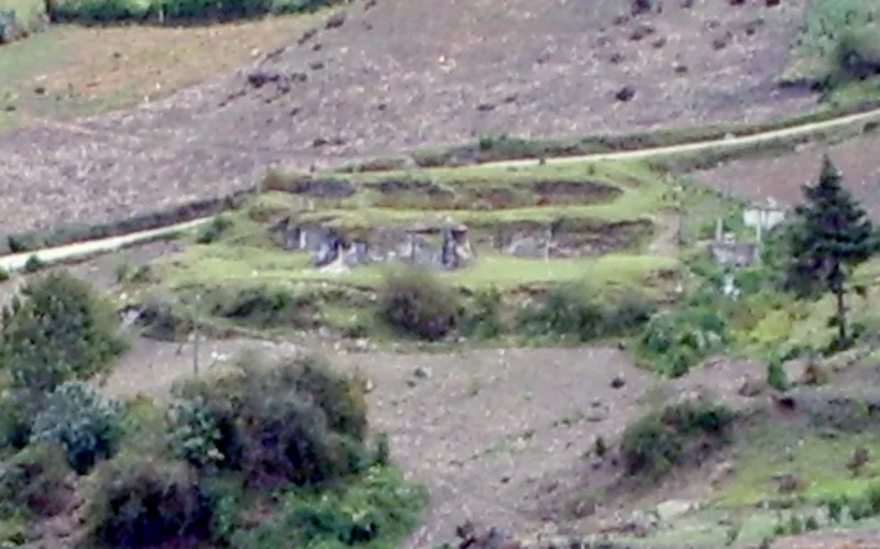
Kʼatepan, also known as Yolchonabʼ, is an archaeological site of the ancient Maya civilization located 1 kilometre to the east of the modern town of San Mateo Ixtatán, in the Huehuetenango Department of Guatemala [1]. The name Kʼatepan translates as "old church", while the alternate name of Yolchonabʼ means "in the village" [1]. The site consists of a small temple plaza in front of two large terraces set against a mountainside, accessed by broad stairways [1]. The site was first described by Guatemalan historian Adrián Recinos in 1913 [1]. Recinos considered Kʼatepan to be the most important ceremonial site in the northern Sierra de los Cuchumatanes mountains [1]. Kʼatepan possesses 19 structures clustered in six architectural groups [1]. The main temple measures 8 by 13.5 by 2.5 metres and stands in the centre of a small plaza [1]. A substantial portion of the southeastern corner of the temple has collapsed, revealing a substructure with finely cut stonework, perhaps belonging to its stairway [1].
Text: Wikipedia – 'Kʼatepan' (revision of 2025-01-16), CC BY-SA 4.0 · sentences selected and shortened by an AI system · source →Kʼatepan
| Type | Temple complex |
|---|---|
| Period | 1 - 500 AD |
| Country | Guatemala |
| Coordinates | 15.8355° N, 91.4685° W |