
 Guatemala
Takalik Abaj is representative of the first blossoming of Maya culture that had occurred by about 400 BC [1]. Takalik Abaj was a sizeable city with the principal architecture clustered into four main groups spread across nine terraces [1]. The site lies in the southwest of Guatemala, about 45 km from the border with the Mexican state of Chiapas and 40 km from the Pacific Ocean [1]. The earliest known occupation at Takalik Abaj dates towards the end of the Early Preclassic, c. 1000 BC [1]. The core of the site covers about 6.5 square kilometres and includes remains of some 70 monumental structures positioned around a dozen plazas [1].
Text: Wikipedia – 'Takalik Abaj' (revision of 2026-09-05), CC BY-SA 4.0 · sentences selected and shortened by an AI system · source →Takalik Abaj National Park
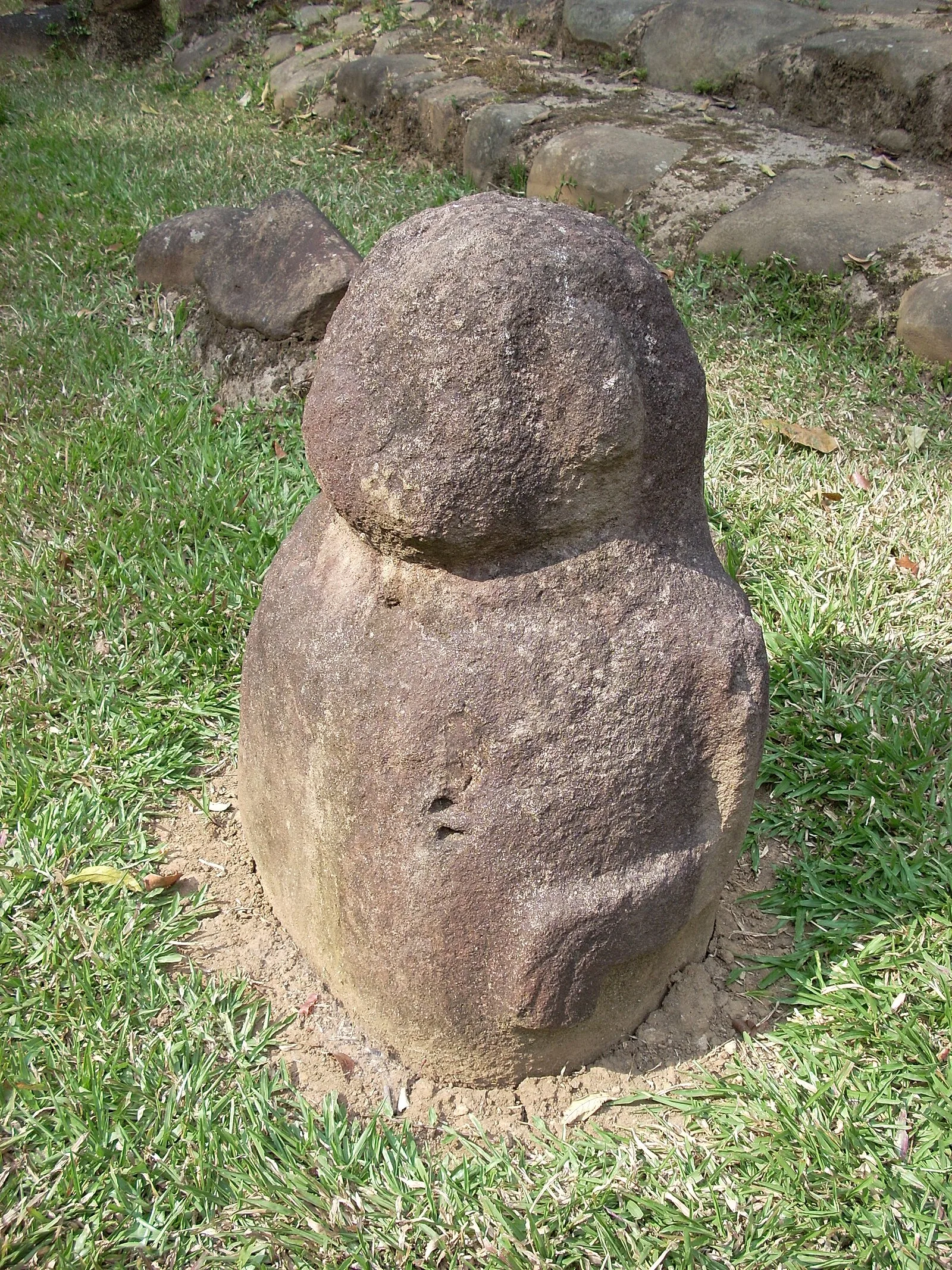
Also known as: 타칼리크 아바흐, Abaj Takalik, Takalik Abachas, Tak'alik Ab'aj, Takalik Abaj, Абах-Такалик, Такалик-Абах, Такалік-Абах, Такалік-Абахо, ტაკალიკ-აბახი, טקליק אבח, ทากาลิคอะบัฆ
| Type | City/town/settlement |
|---|---|
| Period | 1500 - 500 BC |
| Country | Guatemala |
| Coordinates | 14.6388° N, 91.7321° W |