
 Ireland
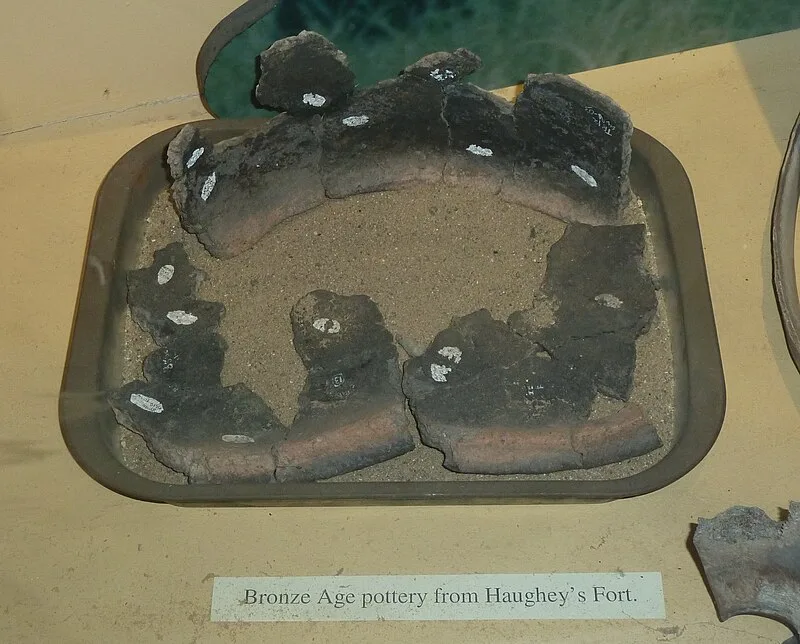
Haughey's Fort is a hill fort in County Armagh, Northern Ireland, situated 3.6 km (2.25 mi) west of Armagh city in the townland of Tray[1]. The massive oval enclosure measures 350 metres (1,150 ft) across at its widest point and is surrounded by two concentric ditches[1]. Within these defenses, an additional ditch encloses an inner area approximately 150 metres (490 ft) in diameter[1]. The site is a Scheduled Historic Monument and takes its name from the farmer who owned the land in the later 19th century[1]. The fort dates to the Middle Bronze Age (1500-500 BC)[1].
Haughey's Fort
| Type | Fortress/citadel |
|---|---|
| Period | 1500 - 500 BC |
| Country | Ireland |
| Coordinates | 54.3451° N, 6.7590° W |