
 Scotland
Funzie Girt is an ancient wall that was erected from north to south across the island of Fetlar in Shetland, Scotland [1]. The line of the wall, which ran for over 4 kilometres, once divided the island in two almost equal sections [1]. Also known as the Finnigirt Dyke, it has vanished in places at the southern end, although the ruins are clearly visible along much of the uninhabited north of the island [1]. The dyke's original purpose is not known, nor is its relationship to other archaeological sites of a similar age nearby [1]. The name "Funzie Girt" means "Finns' dyke", the Finns being the legendary pre-Norse inhabitants of the islands who were said to possess magical powers [1]. Originally 1 metre wide it begins at the north shore by the cliffs of Muckle Funziegord Geo, crosses an RSPB reserve to the west of Vord Hill, then vanishes near the enclosure of Whilsa Pund [1]. It can be seen again passing the Haltadans stone circle as it heads for the northern shore of Skutes Water [1]. The northern, and most complete section of Funzie Girt has been protected as a scheduled monument since December 1957 [1].
Text: Wikipedia – 'Funzie Girt' (revision of 2026-09-04), CC BY-SA 4.0 · sentences selected and shortened by an AI system · source →Funzie Girt
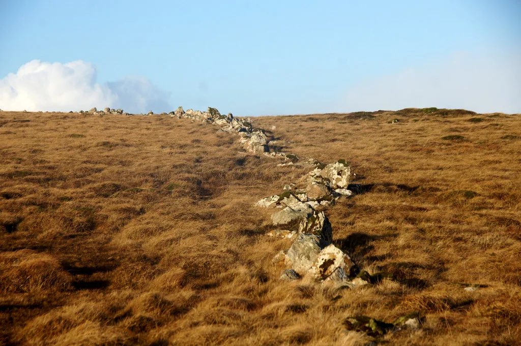
Also known as: Finnigirt Dyke, Funzie Girt,dyke
| Type | Wall |
|---|---|
| Period | 1500 - 500 BC |
| Country | Scotland |
| Coordinates | 60.6253° N, 0.8691° W |