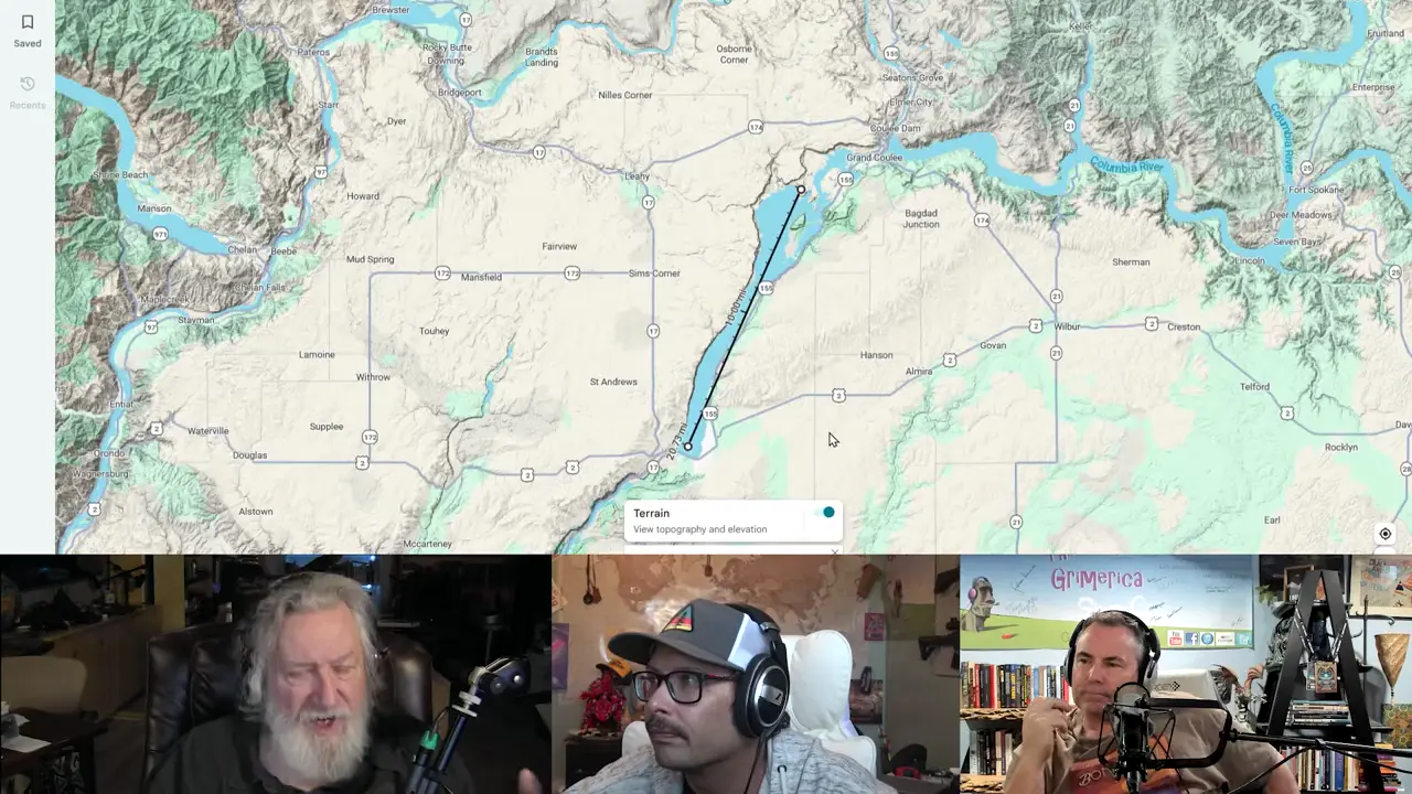
The Finger Lakes and Channeled Scablands/Grand Coulee represent dramatically different scales and origins. Grand Coulee is ~50-60 miles long, the Channeled Scablands covers ~2,000 sq miles, while individual Finger Lakes range from 10-40+ miles long. Both regions were shaped by water, but the Finger Lakes were carved by glacial activity (~15,000 years ago) while the Scablands were created by repeated Missoula outburst floods. Different bedrock (basalt vs shale) — same water, different process and scale. Not a valid parallel!
Key facts claimed:
- Grand Coulee is ~50-60 miles long, while individual Finger Lakes range 10-40+ miles
- Finger Lakes carved by glacial activity; Scablands created by Missoula outburst floods
- Scablands eroded into basalt bedrock; Finger Lakes into shale bedrock
- Different post-flood environments: 15 inches annual rainfall at Grand Coulee vs 50+ inches in western New York
- Different types of features with different catastrophic origins
Sources
Channeled Scablands - Wikipediaen.wikipedia.orgThe Channeled Scablands are a relatively barren and soil-free region of interconnected relict and dry flood channels, coulees and cataracts
[PDF] Upper Grand Coulee: New views of a channeled scabland ...par.nsf.govThe scabland saddle on the west shows how, before upper Grand. Coulee was excavated, Missoula floodwater utilizing the high-level “Coulee creek” vale overflowed ...
Channeled Scablands and the Palouse Falls - Inspired Journeysinspiredjourneys.live... long as the Grand Coulee at 60 miles long. Scablands are where soil had been removed and the underlying rock is exposed or covered with its ...
[PDF] The Ice Age Floods Through the Western Channeled Scablandsweb.gps.caltech.eduFloodwater was at least 700 feet above the present lake elevation and moving at an estimated 60-70 mph during the larger floods Deposition initially increased ...
[PDF] Lower Grand Coulee - Ice Age Floodshugefloods.comThe Lower Grand Coulee extends from Dry Falls to Soap Lake. It is perhaps the most striking of the coulees of the Missoula Flood-created ...
AI-generated text · images from the original sources · always verify with the sources.