

At Dahshur, bones of Middle Kingdom princesses—excavated in 1894 but forgotten until 2020—revealed markers of weapon use. Buried with arrows, maces, and daggers, Princess Neferuptah had archer's grip and thick forearm bones. The princesses may have trained in hunting and combat, though some osteoarchaeologists remain skeptical. 🏹
A canopy-penetrating LiDAR survey spanning over 4,000 kilometers across Brazil, Peru, and Bolivia was conducted over 10 flights
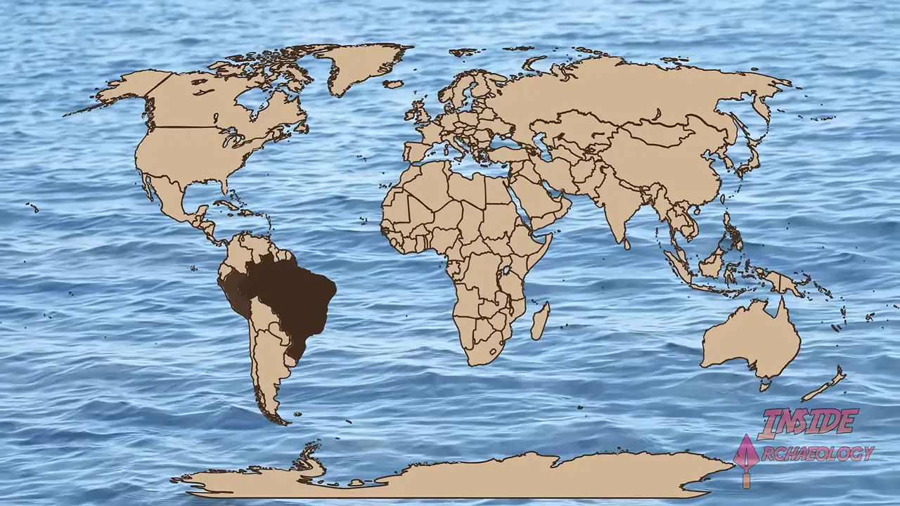
Key facts
- A canopy-penetrating LiDAR survey spanning over 4,000 kilometers across Brazil, Peru, and Bolivia was conducted over 10 flights
- The survey identified 432 earthworks, of which only 36 were previously known, including ditches, embankments, enclosed spaces, and roads in circles, squares, and complex geometric forms
- Most earthworks are between 0.35 and 14 hectares, with the largest approaching 50 hectares; surrounding ditches measure 9-13 meters across and reach depths of up to 5 meters
- Structures were built and used over approximately 1,400 years from 600 BCE to 850 CE, associated with the Aru people who built ditched geometric enclosures known as geoglyphs
- The Aru first emerged around 600 BCE and peaked between 100-300 CE with people living in villages of roughly 300 in multifamily longhouses
- The geoglyphs show no clear defensive features and little evidence of permanent habitation, suggesting they functioned as public, political, and ceremonial gathering centers
- Population estimates for the region have risen from 60,000 to between 1.25 and 3 million people, with potential for 23,000 to 30,000 geoglyphs total in the region based on earthwork density calculations
Keep exploring
Every site on this page sits on the globe, and the people who research them are on the Discord.
3D Globe · Sites by country · Story Archive · Research Library · Weekly Journal · Search
AI-generated text · images from the original sources · always verify with the sources.