
 Mauritania
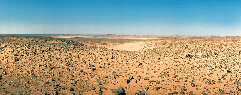
The Richat Structure, known as the Eye of Africa, is a deeply eroded geological dome approximately 40-50 km in diameter on the Adrar Plateau in Mauritania near Ouadane. Formed by a subsurface igneous intrusion during the Cretaceous Period (145-66 million years ago), its concentric rings of sedimentary and igneous rock have been exposed through erosion. The site holds archaeological significance with exceptional accumulations of Acheulean and pre-Acheulean stone tools, including hand axes indicating prehistoric hunting and manufacturing activities. First photographed by astronauts during the 1965 Gemini 4 mission, it was included among 100 IUGS geological heritage sites in 2022.
Richat Structure
| Type | Geological interest |
|---|---|
| Period | 1 - 500 AD |
| Country | Mauritania |
| Coordinates | 21.1271° N, 11.4008° W |