

New York's Valley Heads moraine crosses the southern ends of the Finger Lakes and marks the Laurentide Ice Sheet's roughly 14,500-year-old maximum southern limit. It contains large volumes of water-laid drift. The video argues that catastrophic backwash floods carried and deposited this material, but that mechanism is an interpretation rather than an established consensus, and describing the feature as lacking a terminal moraine conflicts with its identification as the former ice-margin limit.
Video argues floods formed Finger Lakes' Valley Heads moraine
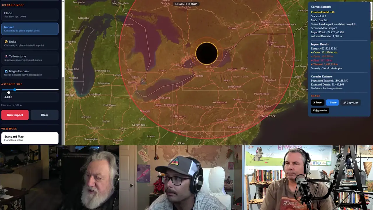
Key facts
- The Valley Heads moraine crosses the southern ends of New York's Finger Lakes and marks the Laurentide Ice Sheet's maximum southern extent, at about 14.5 ka.
- Mullins and Hinchley (1989) described the moraine as containing large volumes of water-laid drift; this alone does not establish a catastrophic-flood origin.
- The video argues that catastrophic backwash floods carried material from the ice terminus and deposited it.
- The claim that no terminal moraine was present conflicts with sources identifying the Valley Heads moraine as the former ice margin at the ice sheet's maximum extent.
Sources
Evidence for a late glacial advance near the beginning of the ...pubs.geoscienceworld.org
The best dated regional landform, the Valley Heads moraine (Fig. 1), located near the southern ends of the Finger Lakes and passing near ...
Observations on terminal moraine-ridge formation during recent ...researchgate.net
Terminal moraines, for example, are formed by glaciers, pushing eroded material downslope and depositing upon glacier retreat [78, 83] . Sub-glacial tunnel melt ...
Glacial Sedimentation - an overview | ScienceDirect Topicssciencedirect.com
Glacial sedimentation refers to the process by which glaciers erode the underlying surface and deposit unsorted sediments, including striated clasts, ...
[PDF] Report (pdf) - USGS Publications Warehousepubs.usgs.gov
The remnants of the terminal moraine grade into lateral moraines that continue up the valley. ... other points in the valley postglacial wash may have buried ...
Newton Clark Moraine | WyEast Blogwyeastblog.org
Most glacial moraines on Mount Hood are lateral moraines, formed along the flanks of glaciers, or terminal moraines formed at the end of a glacier. The ...
Geology of the Finger Lakesearthathome.org
Extent of the Valley Heads moraine is indicated by the black line and represents maximum southern extent of the continental ice sheet during the most recent ...
LiDAR-based Hillshaded DEM map of Finger Lakes study ...researchgate.net
Valley Heads Moraine (in black) was deposited at c. 14.5 ka and marks the southernmost limit of mega-scale glacial lineations recording topographically confined ...
Erosion and infill of New York Finger Lakesweb.cortland.edu
by HT Mullins · 1989 · Cited by 139 — To the south of the lakes, and confined to the val- leys, is the Valley Heads moraine, which consists of large volumes of water-laid drift.
Was this story useful?
Keep exploring
Every site on this page sits on the globe, and the people who research them are on the Discord.
3D Globe · Sites by country · Story Archive · Research Library · Weekly Journal · Search
AI-generated text · images from the original sources · always verify with the sources.