

The Rocky Mountain Trench was packed with glaciers extending down to the Polson Moraine at Flathead Lake's south end. Chief Cliff stands 100 ft above the valley floor, marking where the moraine dam finally breached. Wild Horse Island was severed from the mainland during later flood stages. Largest scablands discharges hit 700-800 million cubic feet per second. 🏔️
Rocky Mountain Trench flood breached Polson moraine dam at Flathead Lake
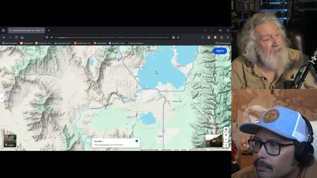
Site mentioned
📍 Flathead Lake
Key facts
- Drumlins are produced by highly pressurized subglacial water flows (per John Shaw)
- Rocky Mountain Trench was filled with glaciers extending down to the Polson Moraine at Flathead Lake's south end
- Chief Cliff stands 100 ft above the valley floor, marking the final breach point of the moraine dam
- Wild Horse Island was severed from the mainland during the latter flood stages via multiple breaches
- The Dayton lobe glacier tongue was 500-1,000 ft thick
- Largest scablands flood discharges were 700-800 million cubic feet per second, nearly double Grand Coulee
- Palouse Falls State Park contains embankments from 200 ft of removed topsoil
Sources
Exploring Polson | Polson MTcityofpolson.com
Polson is located on the Flathead Indian Reservation in a natural amphitheater at the south end of Flathead Lake -- the largest natural freshwater lake in ...
Late Pleistocene stratigraphy and implications for ...sciencedirect.com
by LN Smith · 2004 · Cited by 35 — This lake, the ancestral Flathead Lake, was impounded behind bedrock that was downcut 60–78 m since the late Pleistocene. Glaciolacustrine deposits are as much ...
Flathead Lakeen.wikipedia.org
Flathead Lake remained because a bedrock hill buried underneath the Polson Moraine prevented the moraine from being completely cut through so the meltwater
How Was Flathead Lake Formed? | The Geological Story of ...gosailmontana.com
An easily identifiable feature is the moraines that form the lake's borders, like the Polson Terminal Moraine. Also, the valleys around Flathead are U-shaped,
Flathead Lakeumt.edu
Polson terminal moraine, the high rise of land that slopes upwards from the lake to the south was formed. A 27-mile long lake filled in the depression left ...
Was this story useful?
Keep exploring
Every site on this page sits on the globe, and the people who research them are on the Discord.
3D Globe · Sites by country · Story Archive · Research Library · Weekly Journal · Search
AI-generated text · images from the original sources · always verify with the sources.