

Researchers using satellite radar claim to map the Great Pyramid's interior by analyzing micro-movements from seismic vibrations. The 2022 paper by Filippo Bendandi and Curado Malinga uses Italian satellite SAR data for 3D imaging. The method detects vibrations rather than penetrating structure directly, using satellite positions over time to triangulate movement. Still a contested technique in the archaeological community.
SAR Doppler tomography reveals pyramid internal structure
 EgyptRemote Sensing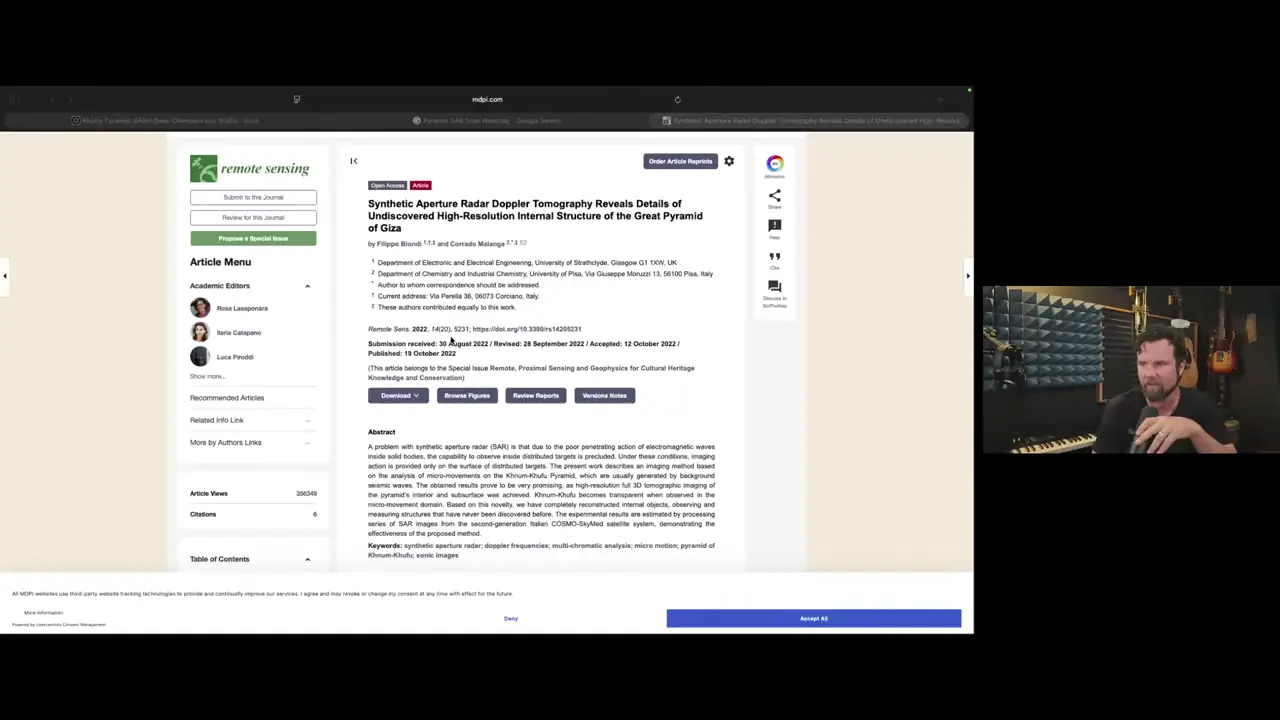
Site mentioned
Key facts
- The method analyzes micro-movements on the pyramid caused by background seismic waves
- Satellite synthetic aperture radar detects vibrations rather than directly penetrating the structure
- The 2022 paper by Filippo Bendandi and Curado Malinga claims to achieve full 3D tomographic imaging
- The method uses satellite positions over time to triangulate structural movements
- Data processing comes from second-generation Italian COSMO-SkyMed satellite system
Sources
(PDF) Synthetic Aperture Radar Doppler Tomography Reveals ...researchgate.net
The present work describes an imaging method based on the analysis of micro-movements on the Khnum-Khufu Pyramid, which are usually generated by background ...
What researchers have just discovered beneath the Great Pyramid ...ecoticias.com
A new Giza radar claim hints at hidden shafts and chambers beneath the pyramids, but experts urge caution.
Synthetic Aperture Radar Doppler Tomography Reveals Details of ...mdpi.com
The present work describes an imaging method based on the analysis of micro-movements on the Khnum-Khufu Pyramid, which are usually generated by background ...
Satellite technology may have found something enormous beneath ...en.as.com
A team of Italian researchers has used satellite radar imagery to identify large underground structures buried deep beneath the Great ...
Scientists 'Confirm' Megastructures Underneath Egypt's Giza Pyramids2oceansvibe.com
A team of Italian researchers has revealed satellite imagery, which, they argue, shows a massive subterranean infrastructure stretching deep ...
Was this story useful?
Keep exploring
Every site on this page sits on the globe, and the people who research them are on the Discord.
3D Globe · Sites by country · Story Archive · Research Library · Weekly Journal · Search
AI-generated text · images from the original sources · always verify with the sources.