

LiDAR reveals Hopewell geometry at High Bank near Chillicothe: a 1,050-ft circle links to a ~1,000-ft octagon across 38 acres, with 12 solar and lunar standstill alignments paralleling Newark's, as Hively and Horn showed in 1982. Fountain City, Indiana hides a 780-ft square (~11 acres). 🛰️
LiDAR reveals Hopewell earthworks circle and octagon at High Bank, Ohio
Site mentioned
📍 High Bank Earthworks -- Circle🌍 Show on the globe
Key facts
- Hopewell communities built massive geometric earthwork enclosures between roughly 100 BCE and 500 CE; thousands existed, but most were destroyed by pioneer farmers in the 1800s, leaving features plowed down and melted over the 1,500 years since abandonment
- At the Fountain City Earthworks in Wayne County, Indiana, LiDAR shows a massive square where aerial photography shows nothing; the square measures 780 ft per side and encloses about 11 acres, roughly six football fields
- The Fountain City Earthworks have been known since 1878, when the Geological Survey of Indiana mapped them; its earthen berms were then 6 ft tall and 30 ft across, but today some sections stand only inches high
- Twenty-five additional earthen pyramids were mapped in Wayne County alone during the 1800s, and almost all of those are now gone
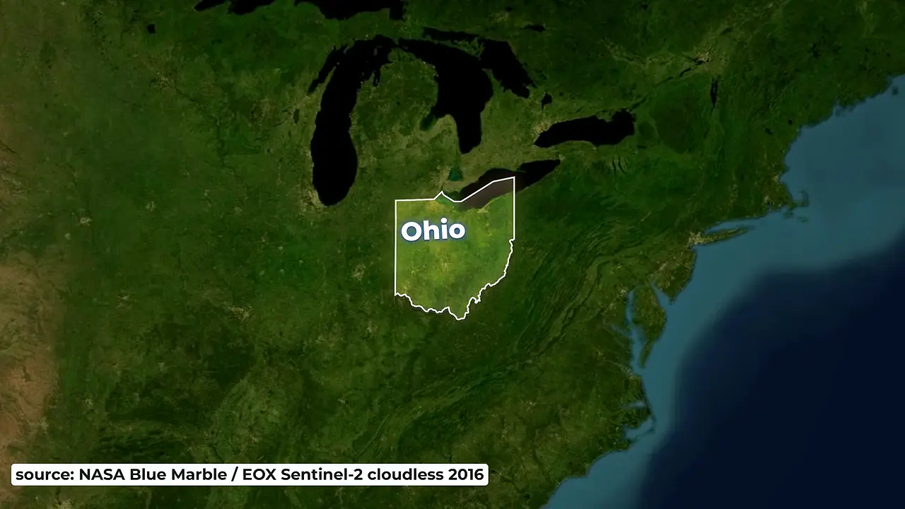
- The High Bank Earthworks overlook the Scioto River south of Chillicothe, Ohio, and consist of a circle connected to an octagon: the circle is 1,050 ft in diameter, the octagon nearly 1,000 ft wide, and together they cover 38 acres
- Squier and Davis mapped the High Bank Earthworks in 1846, measuring the berms at 12 ft tall and 50 ft in cross section, and also recorded other circles that no longer exist
- Points between the corners of the High Bank octagon mark 12 different solar and lunar standstill alignments, a configuration paralleled at the Newark Earthworks
Sources
LiDAR/Imagery Download Application - Experience - ArcGIS Onlineexperience.arcgis.com
Space Archaeologyohiohistory.org
Vol. 1 Ch. 1 Indiana Earthwork Sites New Insights from LiDAR DEMs ...ideaexchange.uakron.edu
City History | The City of Fountain Valleyfountainvalley.gov
1878 - 1913 - Experienceexperience.arcgis.com
Was this story useful?
Keep exploring
Every site on this page sits on the globe, and the people who research them are on the Discord.
3D Globe · Sites by country · Story Archive · Research Library · Weekly Journal · Search
AI-generated text · images from the original sources · always verify with the sources.