

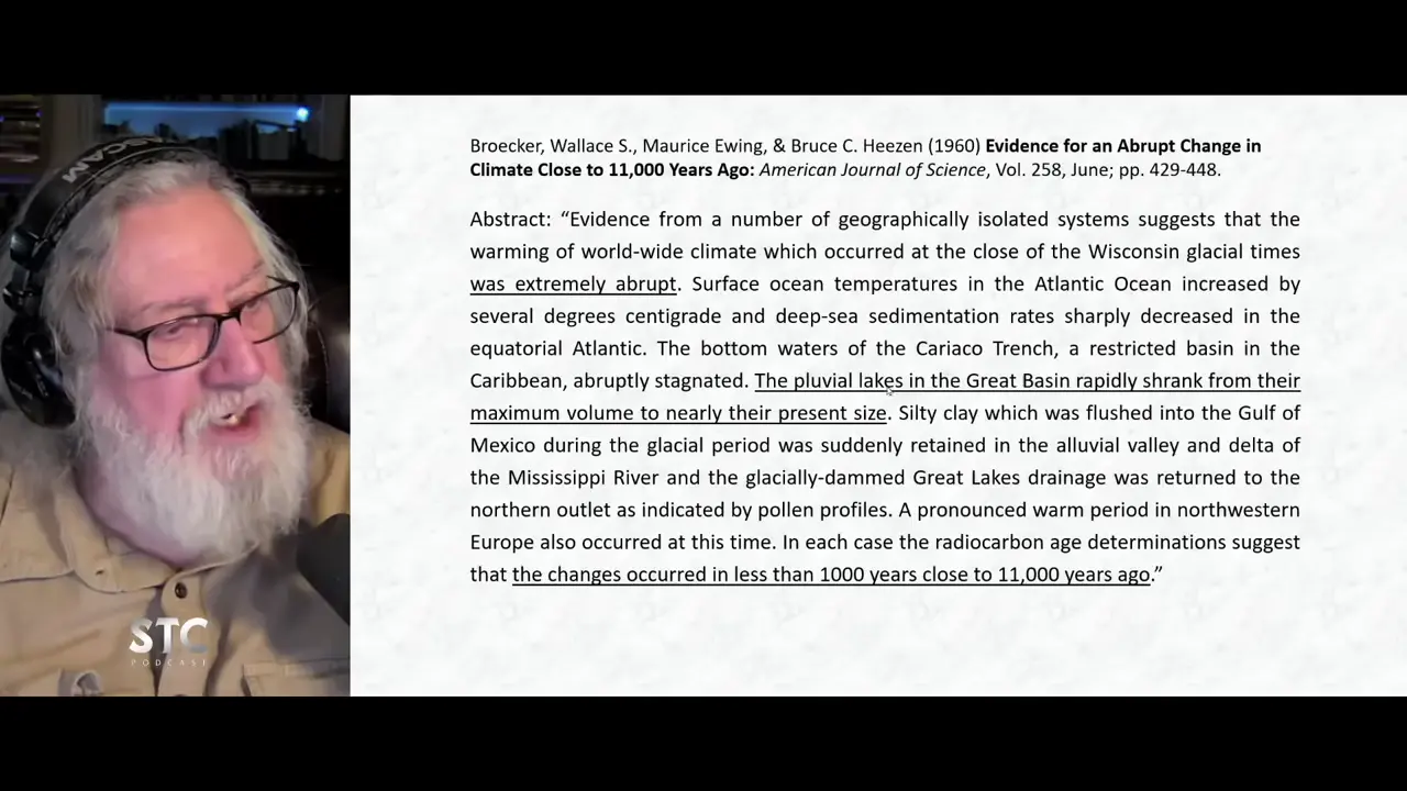
Lake Bonneville, the largest Great Basin lake during the Ice Age, was nearly 1,000 feet deep. Today only Great Salt Lake remains, a mere 4-6 feet deep depending on rainfall. Thick sediment loads during the Ice Age created the flat basin floors when water evaporated. During the Younger Dryas, these lakes shrank from maximum volume to near present size, indicating a dramatically different climate. The Mississippi River system also carried augmented meltwater into the Gulf of Mexico, with sedimentation rates changing sharply as the ice sheet melted.
Great Basin lakes: Lake Bonneville was 1,000 feet deep, shrunk dramatically in Younger Dryas
Key facts
- Lake Bonneville, the largest of the Great Basin lakes, was nearly a thousand feet deep
- Great Salt Lake, what remains, is only 4-6 feet deep depending on rainfall
- During the Ice Age, thick sediment load in water columns created the flat basin floors when water evaporated
- The basins were low flat areas created by sediment deposits; the ranges were mountains between them
- During the Younger Dryas, the Great Basin lakes shrank from their maximum volume to nearly their present size
- This dramatic water level change in the western North American continent indicates a climate far different than today
- The Mississippi River system carried augmented meltwater flows into the Gulf of Mexico during deglaciation
- Sedimentation rates changed dramatically when the ice sheet north of the Mississippi headwaters melted
Sources
Lake Bonneville - Wikipediaen.wikipedia.org
Lake Bonneville was the largest Late Pleistocene paleolake in the Great Basin of western North America. It was a pluvial lake that formed in response to an ...
Utah's ancient Lake Bonneville holds clues to the West's changing ...hcn.org
Lake Bonneville is a perfect place to study how wetness in the Great Basin changed as a result of those temperature swings: The lake's water ...
[PDF] Lake Bonneville: Geology of Northern Utah Valley Utahpubs.usgs.gov
only secure source of irrigation water when water was most needed; on the other hand, there were flood dis- charges into Great Salt Lake in nearly every year.
Lake Bonneville flood | Idaho State Universityisu.edu
Lake Bonneville was the largest stage of the ancient lake that is now the Great Salt Lake. After the Lake Bonneville Flood, the lake fell to the Provo shoreline ...
Lake Bonneville Ice Age Safari | Natural History Museum of Utahnhmu.utah.edu
Lake Bonneville formed around 30,000 years ago when the climate became colder and wetter. Glacial melt water, rain and rivers filled the Salt ...
Was this story useful?
Keep exploring
Every site on this page sits on the globe, and the people who research them are on the Discord.
3D Globe · Sites by country · Story Archive · Research Library · Weekly Journal · Search
AI-generated text · images from the original sources · always verify with the sources.