

The Coffer scan team uses SAR with computing advances that can track topographic changes down to a couple centimeters. Sand wiggles differently over tunnels vs bedrock. The proprietary nature of their software raises verification concerns for independent researchers.
Coffrey scan team employs synthetic aperture radar to search Giza Plateau subsurface
Key facts
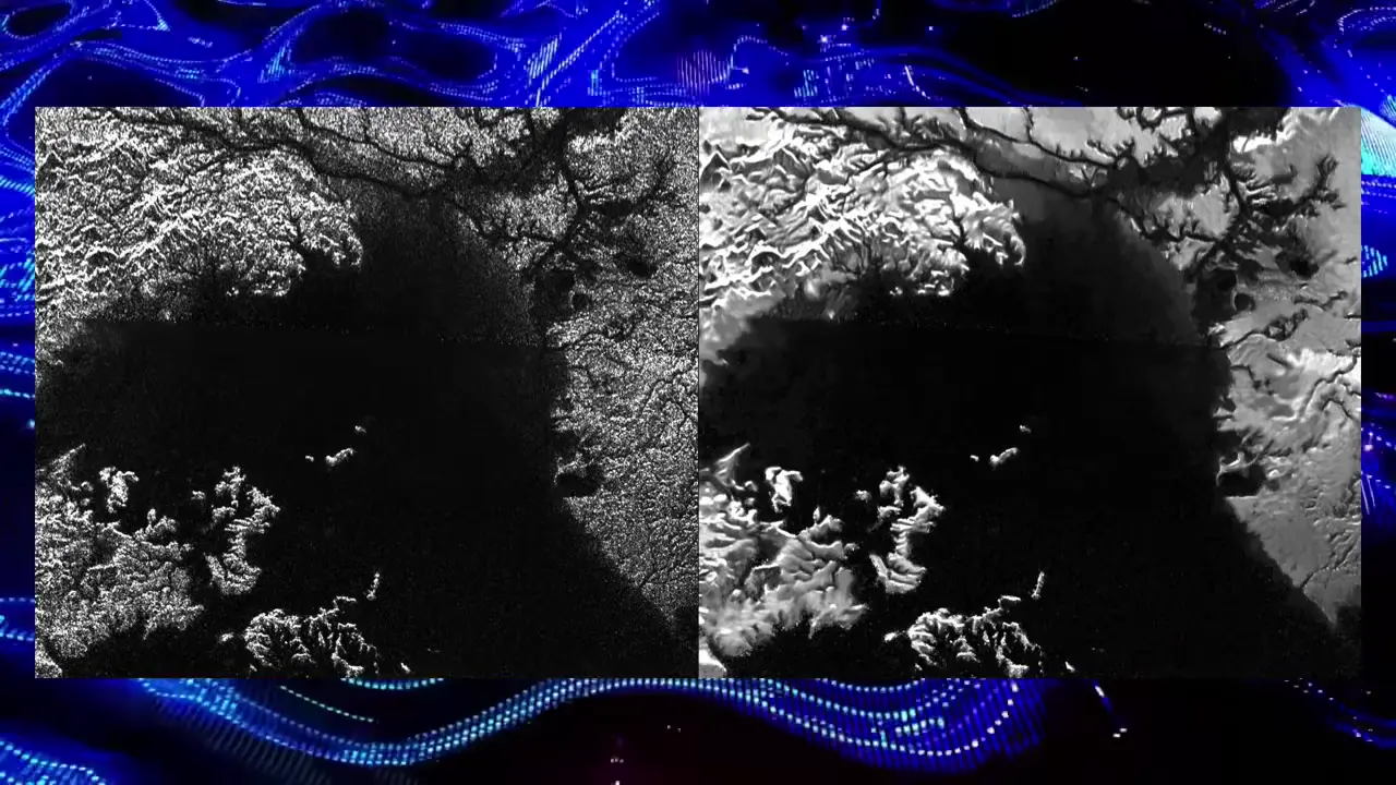
- Synthetic aperture radar (SAR) uses smaller satellite radar antennas to cover wider areas, treating data as if gained through a larger synthetic aperture
- Advances in computing have improved data correlation accuracy to track differences down to a couple of centimeters
- The team uses proprietary software to detect changes in Earth topography over time
- The methodology relies on sand shifting differently over tunnels compared to bedrock
- The speaker notes the proprietary nature of the technology raises verification concerns
Sources
[PDF] Blindsight - Peter Watts - Riftersrifters.com
His was genetic: an uncontrolled genotype that left him predisposed to nearsightedness, acne, and (as it later turned out) a susceptibility to narcotics. His ...
Media Alert: Low-level airplane and helicopter flights to scan ...usgs.gov
— The U.S. Geological Survey plans low-level flights by airplane and helicopter over southern and central New Mexico to image geology using ...
Faster than Maps: How SAR Satellites Expose the Blind Spots of ...geoawesome.com
SAR satellites reveal urban growth missed by commercial maps. A hybrid GeoAI pipeline detects new infrastructure faster than optical ...
[PDF] GEOLOGICAL SURVEY RESEARCH 1 963nmwrri.nmsu.edu
The articles report on scientific and economic results of current work by members of the Geologic and Water Resources Divisions of the U.S. Geological Survey.
Everest-007 – TA Loeffler's Adventures that Movetaloeffler.com
It feels like I'm on an expedition and I don't know when this expedition will end. That's new, because most of my expeditions have an end date when the float ...
Was this story useful?
Keep exploring
Every site on this page sits on the globe, and the people who research them are on the Discord.
3D Globe · Sites by country · Story Archive · Research Library · Weekly Journal · Search
AI-generated text · images from the original sources · always verify with the sources.